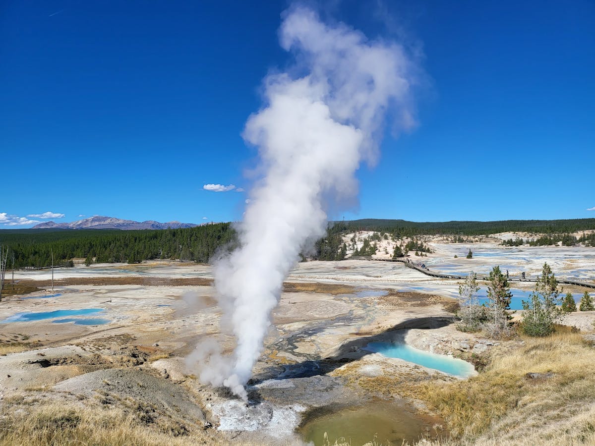
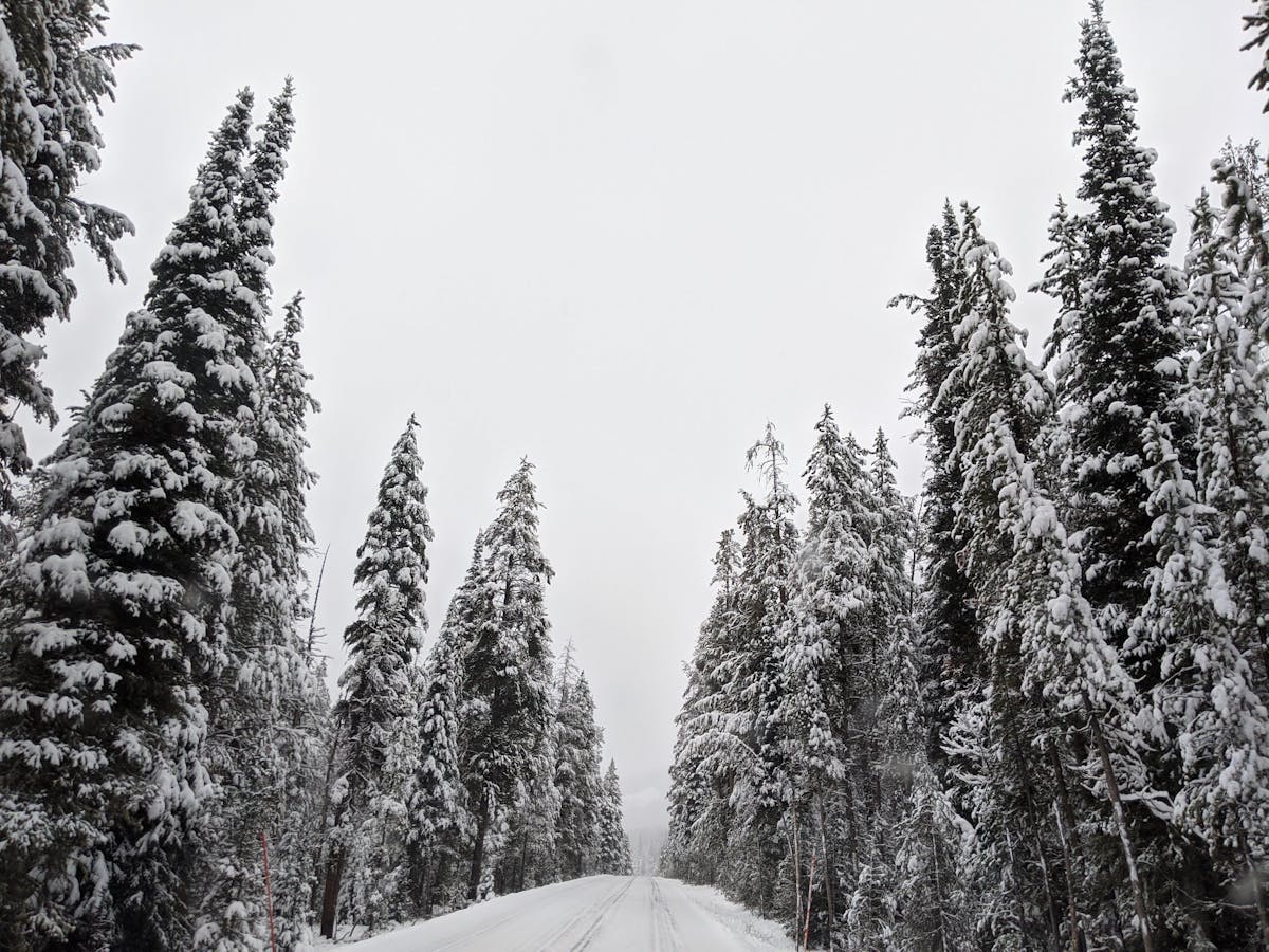
Montana, often celebrated as “Big Sky Country,” captivates visitors with its breathtaking natural beauty and vast, open landscapes. If you’re planning a trip or simply curious about this iconic Western state, you might be asking: What state is Montana in? Located in the northwestern region of the United States, Montana is the fourth-largest state by area, covering diverse terrains from majestic mountains to sweeping plains. Understanding its geography is key to appreciating its unique appeal and the experiences it offers.
Understanding Montana’s Location: What State Is Montana In?
Montana is one of the 50 states that make up the United States of America. It is situated in the Mountain West subregion of the Western United States. It shares its northern border with three Canadian provinces: British Columbia, Alberta, and Saskatchewan. To the east, it borders North Dakota and South Dakota. Wyoming lies to its south, and Idaho is to its west and southwest. This strategic location influences its climate, geography, and historical development.

Fun Things to Do in Kissimmee Florida
Where To Go In Waikiki – Your Ultimate Guide to Hawaii’s Iconic Beachfront
The Best Things to Do in Naples – Your Ultimate Italian Experience
Montana’s position places it squarely within the Northern Tier of the U.S., characterized by rugged natural beauty and a relatively sparse population compared to coastal states. Its vast area means it encompasses significantly different ecological zones and landscapes, creating the dramatic contrast it’s famous for.
The Dramatic Landscape: Mountains Meet Plains
The geography of Montana is defined by a striking division: the western two-fifths lies within the Rocky Mountains, while the eastern three-fifths stretches across the Great Plains. This geological split creates two distinct worlds within one state, each offering unique vistas and environments. The contrast between high, rugged peaks and endless, rolling prairie is one of Montana’s most powerful geographic features.
The Rugged Rockies in Western Montana
Western Montana is a land of dramatic elevation changes. Here, the Rocky Mountains rise steeply, characterized by high peaks, deep, narrow valleys, and dense evergreen forests. These ranges were formed by immense geological forces over millions of years, resulting in the complex, folded, and faulted rock formations we see today.
The last ice age, ending around 11,500 years ago, played a crucial role in shaping the modern mountain landscape. Glaciers carved out sharp crests and U-shaped valleys, leaving behind glacial deposits when they receded. This glacial sculpting is particularly evident in regions like Glacier National Park, known for its stunning glaciated terrain and remaining small glaciers.
Geographical overview of the northern Mountain region including areas of Montana, highlighting the rugged topography.
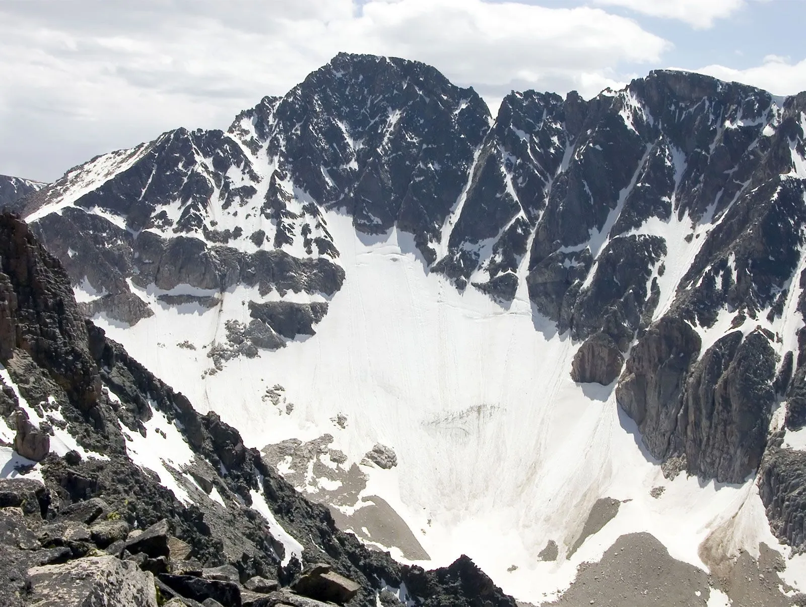
Within Rocky Mountain Montana, there’s further variation. Northwestern Montana, home to Glacier National Park, features narrow valleys that contribute to its rugged, spectacular scenery. The south-central part, bordering Yellowstone National Park, is equally impressive and hosts Granite Peak, the highest point in Montana at 12,799 feet (3,901 meters).
These rugged areas contrast with the broad-valley regions in west-central and southwestern Montana. Here, the valleys are wider, often drier, and covered in grass, providing expansive, panoramic views of the surrounding mountain ranges. These broad valleys are crucial for ranching and agriculture.
The Vast Great Plains in Eastern Montana
Eastern Montana is a different world entirely. It’s dominated by the Great Plains, characterized by its immense scale and horizontal lines. This region features vast stretches of yellow rangeland, golden grain fields, and brown fallow strips, signifying its importance as an agricultural heartland.
While often called “plains,” much of eastern Montana is far from flat. It includes areas of scattered hills, particularly south of the Yellowstone River. The Missouri River Breaks in the north-central part form a rugged, scenic area of uplands carved by centuries of erosion, now part of a national monument.
Map illustrating the physical features and landscape regions within the state of Montana.
Genuine flat plains are found in areas like the “Golden Triangle” north of Great Falls. Plateaus and badlands, like those in Makoshika State Park near Glendive, add further texture to the landscape with their unique eroded rock formations, including notable cap rock features.
The underlying geology of the plains consists mainly of young, soft rocks that are relatively horizontal. In the northern part of the Great Plains region, these rocks are often covered by glacial deposits left by the continental ice cap during the same period the mountains to the west were being sculpted by alpine glaciers.
 Granite Peak
Granite Peak, the highest summit in Montana, showcasing the state’s alpine terrain.
Scattered across these plains are isolated mountain ranges, sometimes called “island ranges” or Rocky Mountain outliers. These are like small islands of mountain topography set amidst the vast flatness, adding unexpected vertical relief to the prairie landscape.
Rugged badlands with distinct cap rock formations at Makoshika State Park in eastern Montana.
Waters of the Big Sky Country
Montana holds a unique hydrological position in North America. It is the only state whose waters drain into three major drainage basins: the Hudson Bay, the Gulf of Mexico (via the Atlantic Ocean), and the Pacific Ocean. This trifecta of drainage highlights its position at a continental crossroads.

The northwestern part of Montana lies west of the Continental Divide. Rivers in this area, such as the Kootenai River and the Clark Fork (with its main tributary, the Flathead River), flow westward towards the Columbia River, eventually reaching the Pacific Ocean. The Kootenai River flows out of Montana at the state’s lowest elevation point.
Flathead Lake in northwestern Montana, a large natural freshwater lake formed by glacial activity.
The Flathead River flows through and out of Flathead Lake, the largest natural freshwater lake by surface area in Montana. This significant body of water is a focal point for recreation and provides habitat for numerous species.
East of the Continental Divide, the vast majority of Montana is drained by the Missouri River system. The Missouri River itself is formed in southwestern Montana by the confluence of the Jefferson, Madison, and Gallatin rivers. It flows eastward across the state, eventually joining the Mississippi River, which empties into the Gulf of Mexico, part of the Atlantic Ocean drainage system. The Yellowstone River, another major Montana river, is the principal tributary of the Missouri, draining much of the southern part of the state’s plains.
The Missouri River flowing through northeastern Montana, illustrating the scale of the state’s prairie and river systems.
A small area on the eastern slope of Glacier National Park contributes water to streams that eventually flow northward into Canada, ultimately reaching Hudson Bay. This unique hydrographic knot underscores Montana’s pivotal geographic position.
Why Montana’s Geography Matters for Travelers
Knowing “What state is Montana in” is just the beginning. Its location and diverse geography directly shape the travel experiences available. The contrast between mountains and plains means you can hike challenging alpine trails, ski world-class slopes, and explore dramatic glaciated landscapes in the west, then drive a few hours east and find yourself in sweeping prairies perfect for wildlife viewing, fishing, or experiencing genuine ranch life.
The presence of major river systems and lakes like Flathead Lake provides extensive opportunities for water-based activities, from whitewater rafting and fishing to boating and swimming. National treasures like Glacier and Yellowstone National Parks showcase the most spectacular aspects of Montana’s natural environment, attracting millions of visitors seeking adventure, solitude, and connection with nature.
This geographical diversity supports a wide array of ecosystems and wildlife. Montana is famous for its populations of grizzly bears, black bears, elk, deer, bison, pronghorn, and numerous bird species. Exploring these vast landscapes offers unparalleled chances for wildlife photography and observation in their natural habitats.
Planning Your Visit: Experiencing Montana
When planning a trip to Montana, consider what kind of experience you seek, as this will largely depend on whether you focus on the mountainous west or the plains in the east. Summer and early fall are ideal for hiking, fishing, and exploring the national parks, while winter brings opportunities for skiing, snowboarding, and ice fishing.
Key destinations like the areas around Bozeman, Whitefish, and Missoula offer access to the Rocky Mountains and their recreational activities. Eastern cities like Billings and Great Falls serve as gateways to the plains, badlands, and historical sites along the rivers. Embracing the “Big Sky” means being prepared for varied weather and understanding the vast distances involved in traveling across the state.
Montana’s geography is not just a backdrop; it’s an integral part of its identity and the experiences it offers. From the peaks of Granite Peak to the flow of the Missouri River, the land tells a story of geological power and natural beauty that continues to shape the state and draw visitors from around the world.
Frequently Asked Questions (FAQ)
- Where is Montana located?
Montana is located in the northwestern part of the United States, specifically in the Mountain West region. It borders Canada to the north, North Dakota and South Dakota to the east, Wyoming to the south, and Idaho to the west. - What state is Montana in relative to other US states?
Montana is situated north of Wyoming, east of Idaho, south of Canada, and west of North and South Dakota. It is one of the largest states by area but has a relatively small population. - What is Montana known for?
Montana is primarily known for its vast and diverse natural landscapes, including the Rocky Mountains, the Great Plains, national parks like Glacier and parts of Yellowstone, abundant wildlife, and its nickname “Big Sky Country.” - What is the capital of Montana?
The capital city of Montana is Helena, located in the west-central part of the state.
Conclusion
So, what state is Montana in? It’s a state in the Mountain West region of the United States, a land of dramatic contrasts where the Rocky Mountains meet the Great Plains. This unique geographical position creates a landscape of unparalleled beauty and offers an incredible array of outdoor adventures and cultural experiences. Whether you’re drawn to the rugged peaks, the vast open prairies, or the winding rivers, Montana’s natural heritage is its defining feature, inviting exploration and discovery under its famously big sky.
