Southeast Michigan often brings to mind vibrant cities and bustling life, but just beyond the urban energy lies a surprising network of natural beauty and incredible trails. As someone who believes travel is about connecting deeply with a place, exploring these trails offers a unique glimpse into the region’s landscape and history. Whether you’re a seasoned thru-hiker or just looking for a peaceful stroll, finding the best hikes in southeast michigan is an adventure in itself.
These paths wind through diverse environments, from serene wetlands and lush woodlands to scenic riverfronts and former railway lines, each offering a distinct experience waiting to be discovered. Let this guide be your starting point to explore the incredible hiking opportunities that await you. For those dreaming of longer treks across the state, don’t miss our guide to the best backpacking trails in michigan.
Exploring the Varied Landscapes
Southeast Michigan’s topography, shaped by ancient glaciers, provides a fascinating variety of settings for outdoor exploration. You’ll find everything from gently rolling former farmlands to surprisingly rugged moraines. The region’s extensive park systems – including state parks, county parks, and Metroparks – have developed and maintained impressive trail networks that cater to hikers, bikers, and nature enthusiasts of all levels. Understanding the type of terrain and trail surface can help you choose the perfect adventure.
Top Picks for the Best Hikes in Southeast Michigan
Here is a curated look at some of the most noteworthy trails and park systems offering exceptional hiking experiences throughout the southeast corner of the state. Each offers a unique slice of Michigan’s natural and sometimes historical pie.
Addison Oaks County Park Trails
Venture into Oakland County to find Addison Oaks Park, offering a combination of trails that traverse wooded areas and open spaces. This park system includes pathways designed for multiple uses, including hiking, biking, and equestrian activities. While the entire system exceeds 20 miles, a significant portion provides well-maintained routes perfect for a day hike or a longer exploration. The rolling terrain adds a moderate challenge in some areas, making it a great spot to build stamina while enjoying picturesque views.
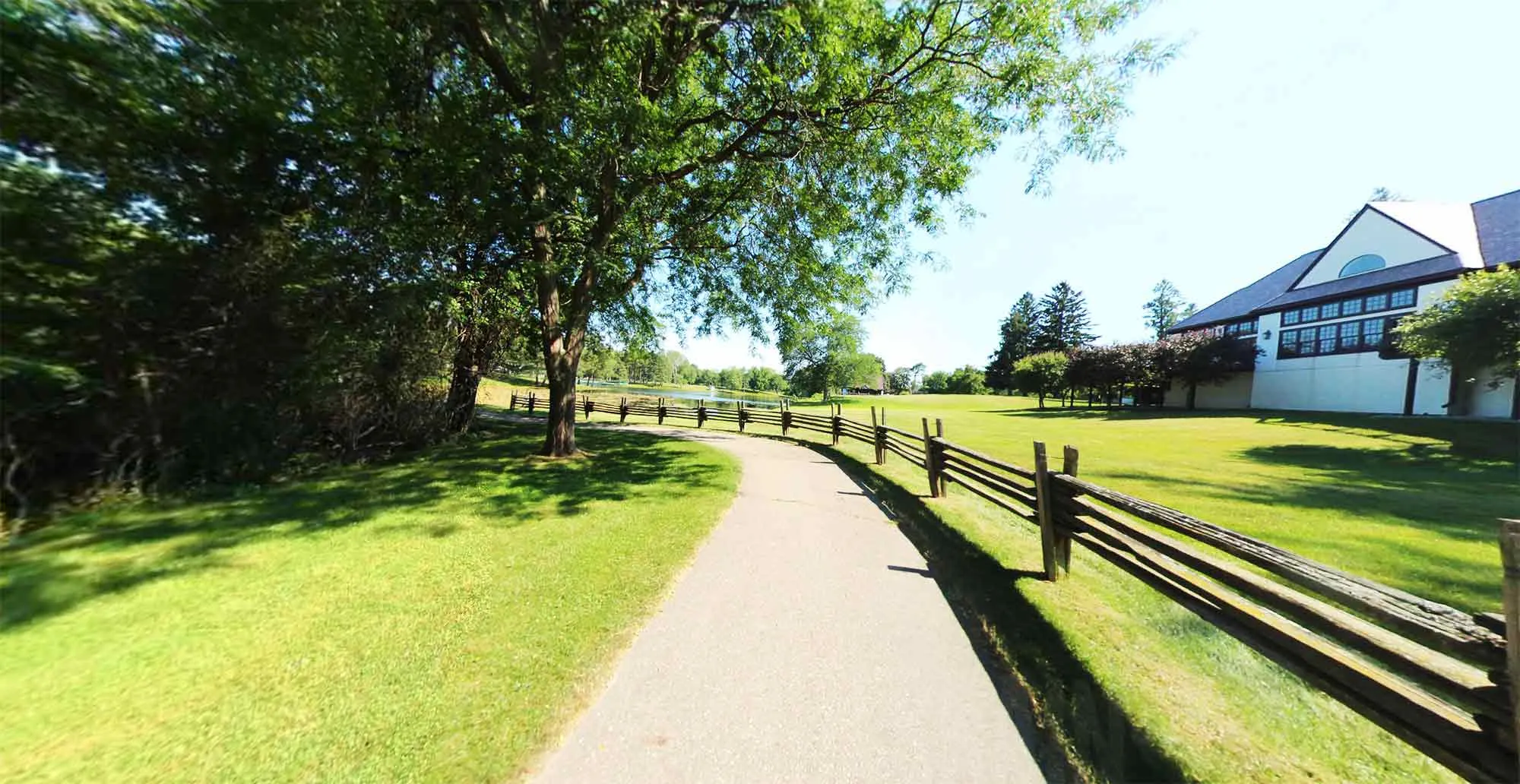 Hikers on a dirt trail at Addison Oaks County ParkNavigating the diverse trails at Addison Oaks County Park.
Bald Mountain State Recreation Area
Prepare for some of the most challenging terrain in Southeast Michigan at Bald Mountain State Recreation Area. Spread across 4,637 acres, this area boasts hiking and biking trails that feature steep hills and rugged landscapes. It’s a fantastic destination if you’re looking for a workout or want to experience elevation changes not commonly found elsewhere in the region. The trails here offer a true escape into nature, feeling much more remote than their actual proximity to urban areas might suggest.
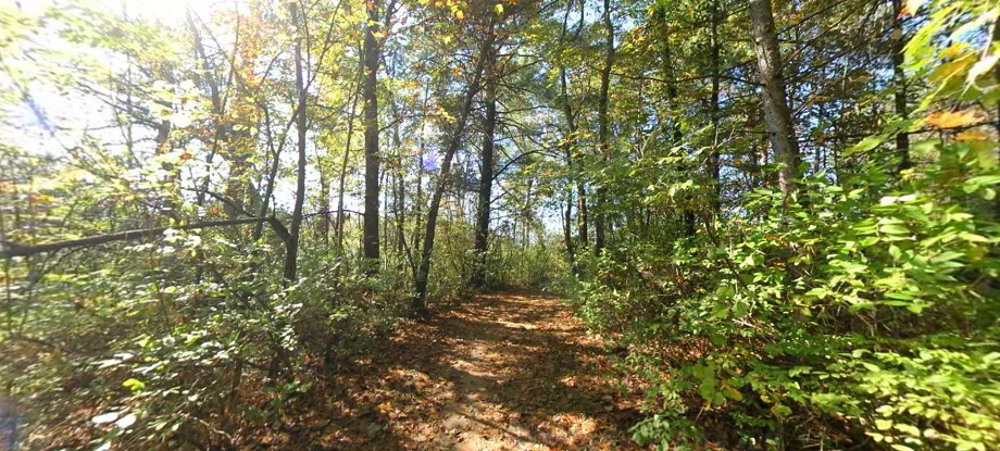 Dense woodland trail at Bald Mountain State Recreation Area, known for rugged terrainExperience the rugged beauty of Bald Mountain State Recreation Area.
Blue Water River Walk & Bridge to Bay Trail
For a scenic hike along a major waterway, the Blue Water River Walk and connecting Bridge to Bay Trail offer over 10 miles of trails along the St. Clair River. Located in St. Clair County, this paved trail system provides stunning views of passing freighters and the international border. The Blue Water River Walk section specifically enhances the experience with features like a fishing pier, observation dock, public art installations, and a wetlands park, blending natural beauty with community amenities.
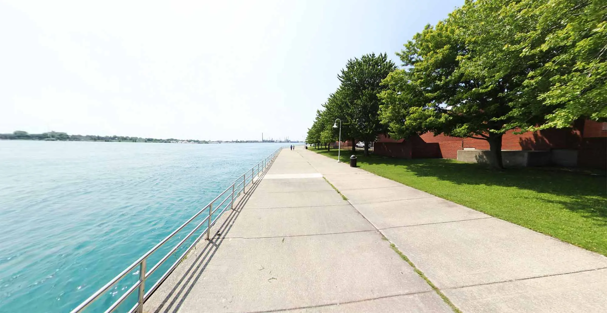 Paved pathway along the St. Clair River, part of the Blue Water River Walk trail systemStrolling along the scenic Blue Water River Walk.
Border-to-Border Trail
The Border-to-Border Trail in Washtenaw County is a gem for accessible, long-distance hiking and biking. This paved pathway follows the Huron River for more than 25 miles, connecting various parks like Hudson Mills and Dexter Huron Metroparks, and flowing into the vibrant communities of Ann Arbor and Ypsilanti. It links popular destinations such as Gallup Park, Matthaei Botanical Gardens, and Riverside Park, making it perfect for a leisurely stroll, a long bike ride, or commuting between key points while surrounded by nature.
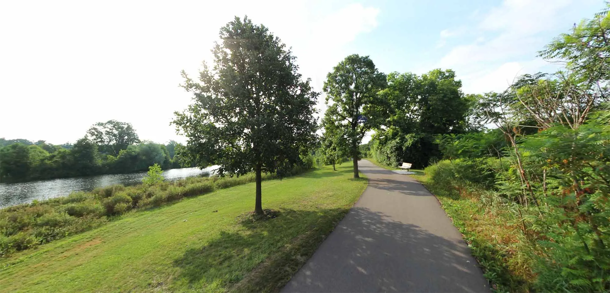 Cyclists and walkers on the paved Border-to-Border Trail in Washtenaw CountyThe paved Border-to-Border Trail offers extensive pathways.
Clinton River Park Trail & River Bends Park Trail (Macomb County)
Macomb County’s contribution to the regional trail network includes the Clinton River Park Trail and River Bends Park Trail. This system features about 12 miles of paved trails winding through River Bends Park and alongside the Clinton River through Utica and Sterling Heights. As part of the larger Iron Belle Trail, these paths provide seamless connections between several community parks, offering a great resource for local recreation and longer trail excursions.
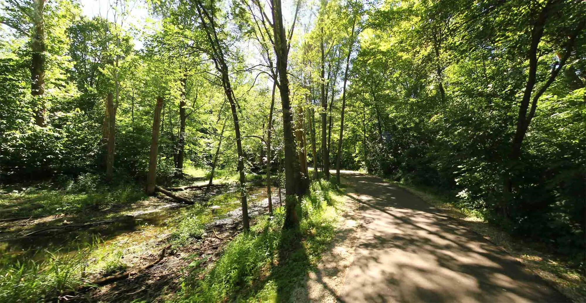 A wide, paved trail cutting through a park, part of the Clinton River Park Trail networkExploring the paved trails in Macomb County.
Clinton River Trail and West Bloomfield Trail (Oakland County)
Tracing the path of a former railroad, the Clinton River Trail and West Bloomfield Trail in Oakland County offer approximately 20 miles of connected pathway. This rails-to-trails conversion provides a relatively flat, easy-to-navigate route that passes through multiple communities, parks, and points of interest. It’s an excellent choice for accessible hiking, jogging, or biking, allowing you to experience the landscape that once supported bustling train routes.
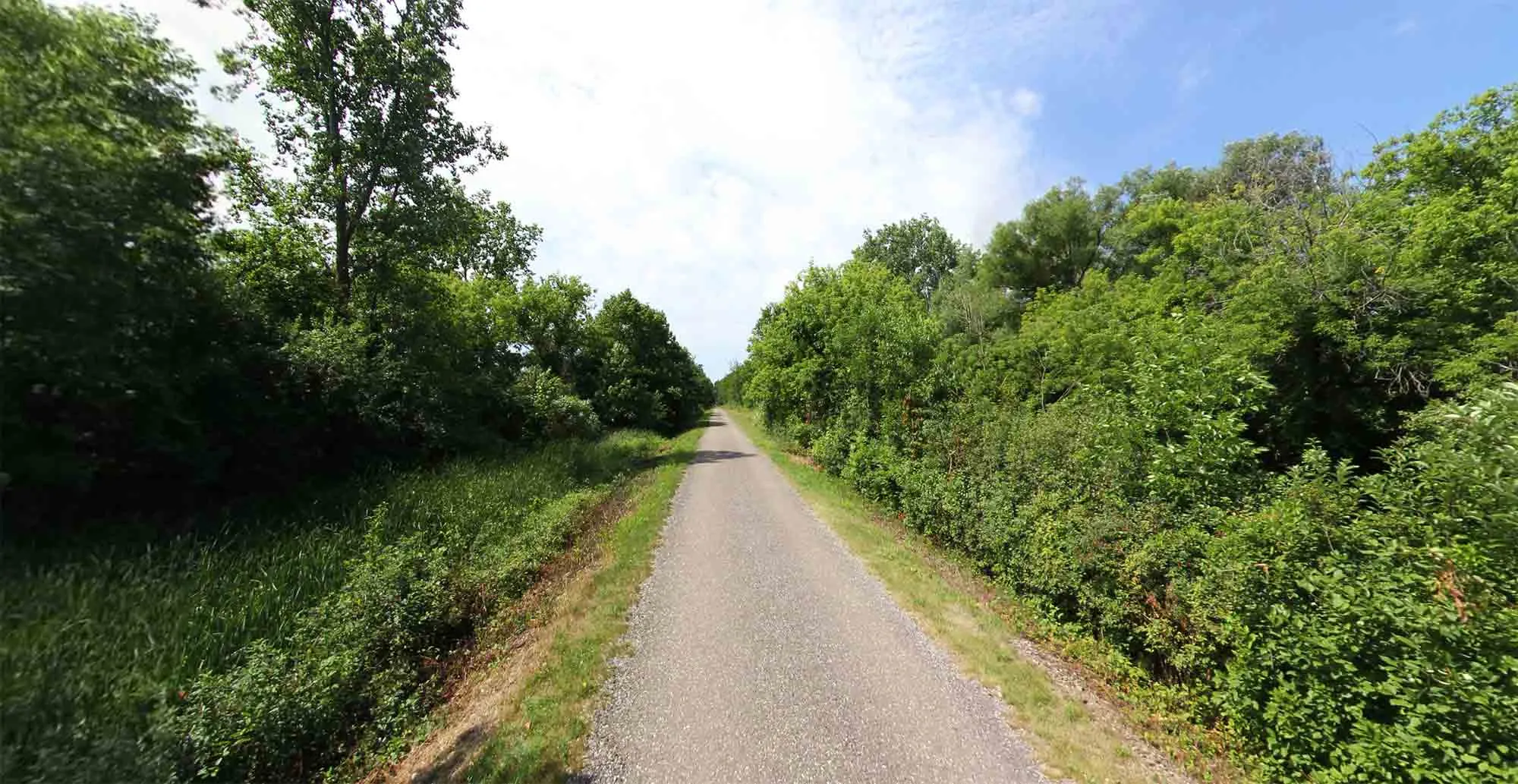 A trail passing through a wooded area in Oakland County, part of the Clinton River and West Bloomfield TrailsRails-to-trails history on the Clinton River and West Bloomfield Trails.
Crosswinds Marsh Trails
Discover the beauty of wetlands at Crosswinds Marsh, one of the largest man-made marshes in the country that’s also remarkably accessible. With over five miles of trails, including more than a mile of boardwalk, this area provides a unique opportunity to observe wetland ecosystems up close without getting your feet wet. Boardwalk sections elevate you above ponds, marshes, and streams, offering fantastic vantage points for birdwatching and experiencing this vital habitat.
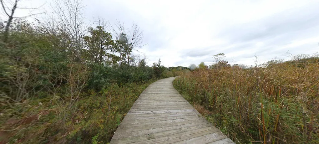 Boardwalk extending over a marsh, providing access on the Crosswinds Marsh TrailsBoardwalks offer unique access at Crosswinds Marsh.
Detroit RiverWalk & Dequindre Cut
Experience the dynamic urban landscape of Detroit through its impressive RiverWalk and the connecting Dequindre Cut. The Detroit RiverWalk stretches for 3.5 miles along the East Riverfront, offering stunning views of the Detroit River and the Canadian skyline, alongside expansive green spaces and public amenities. Connecting to the RiverWalk is the Dequindre Cut, a 2-mile greenway transformed from a former railway line. It features separate lanes for cyclists and pedestrians and is adorned with vibrant murals and urban art, providing a unique blend of nature, history, and city culture right in the heart of Detroit.
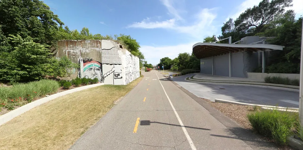 The Dequindre Cut greenway in Detroit, featuring murals and separate lanes for pedestrians and cyclistsThe Dequindre Cut adds an artistic touch to Detroit’s trail system.
Downriver Linked Greenways
The Downriver Linked Greenways offer over 30 miles of interconnected trails and pathways, primarily following the course of the Huron River in Wayne County’s downriver communities. This extensive network links four Metroparks (Lower Huron, Willow, Oakwoods, and Lake Erie) with other parks like Elizabeth Park and paved trails along the Detroit River International Wildlife Refuge. It’s a fantastic system for longer hikes or bike rides, connecting varied natural environments and providing ample opportunities for exploring the region’s southern waterways.
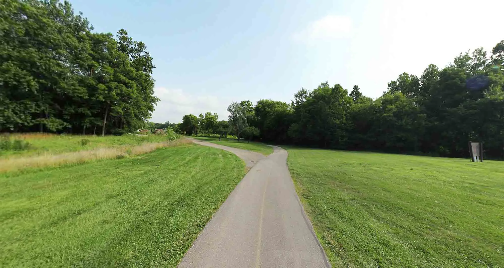 A paved trail surrounded by trees and greenery, part of the Downriver Linked Greenways systemFollowing the pathways of the Downriver Linked Greenways.
Freedom Metro Trail
Situated in Macomb County, the Freedom Metro Trail offers over 11 miles of paved trail along Metro Parkway and through Lake St Clair Metropark. Starting near the Metropark’s beach house, this trail includes a section that follows the Clinton River Spillway. It’s an accessible and well-maintained path popular for walking, running, and biking, providing easy access to the amenities and waterfront views of Lake St. Clair Metropark.
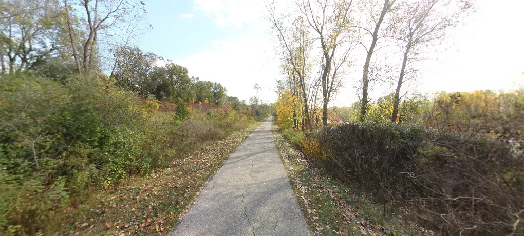 Paved trail running near a body of water, characteristic of the Freedom Metro TrailAccessible trails at Lake St Clair Metropark.
Hines Park Trail
Stretching for 20 miles along Edwards Hines Drive and the Rouge River basin, the Hines Park Trail is a central part of Wayne County’s trail system. This paved pathway connects a long series of county parks and recreation areas, offering a continuous route through varied green spaces within a suburban setting. It’s a widely used trail for leisurely strolls, dedicated runs, and cycling, providing a linear park experience with numerous access points and amenities along the way.
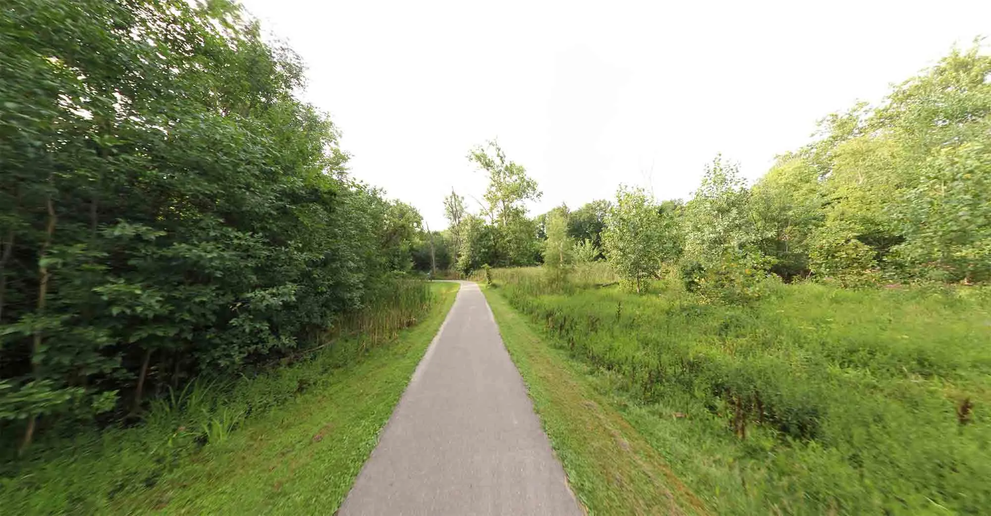 The paved Hines Park Trail winding alongside a river and through a park areaA long stretch of the paved Hines Park Trail.
Huron Meadows Rustic Trails
For a more natural hiking experience, the rustic trails within the nearly 1,600-acre Huron Meadows Metropark in Livingston County are a superb choice. These trails, totaling over 10 miles, are typically unpaved and wind through woodlands and open meadows, offering a more immersive nature experience. They are ideal for hikers seeking a quieter, less developed path compared to the paved trails found in many other Metroparks.
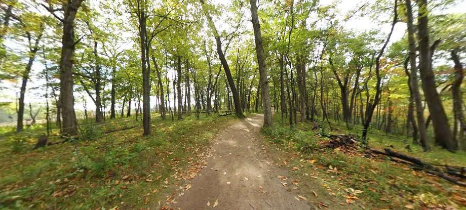 A narrow, unpaved rustic trail winding through a wooded area in Huron Meadows MetroparkDiscovering nature on the rustic trails at Huron Meadows.
Huron Valley Trail
Another prominent rail-to-trail conversion, the Huron Valley Trail spans 12 miles, connecting the City of Wixom and Lyon Oaks Park to Island Lake Pathway, Kensington Metropark, and downtown South Lyon. This trail follows the corridor of the former Airline Railway, providing a relatively flat and accessible route through charming towns and natural areas. It serves as a vital link in the regional trail network, facilitating longer multi-trail journeys.
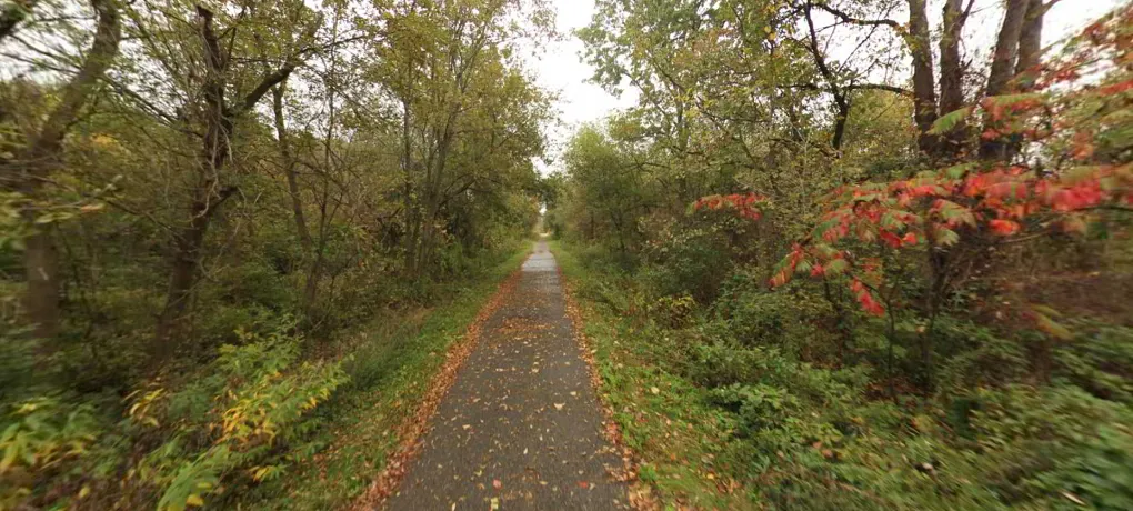 Paved multi-use path surrounded by trees, part of the Huron Valley Trail networkConnections via the Huron Valley Trail.
I-275 Metro Trail
While perhaps not the most picturesque due to its proximity to the freeway, the I-275 Metro Trail is invaluable for its connectivity. This non-motorized corridor runs along the I-275 freeway for nearly 40 miles, providing a crucial link between the West Bloomfield Trail in Oakland County and the Downriver Linked Greenways in Wayne County. It’s a functional trail offering a long, uninterrupted route for serious mileage, serving as a backbone for accessing other parts of the regional trail system.
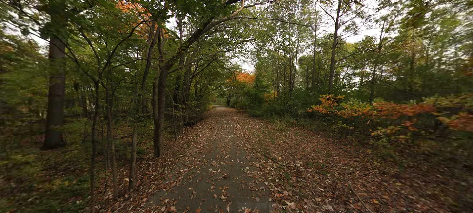 A paved trail running adjacent to a highway embankment, representing the I-275 Metro TrailThe I-275 Metro Trail provides a long connecting corridor.
Lakelands Trail State Park
Part of Michigan’s state park system, the Lakelands Trail is a 22-mile-long trail that connects directly to the extensive Pinckney Recreation Area. This trail is multi-use, welcoming bikers, walkers, runners, and even horseback riders. The eastern segment is particularly scenic, passing through a series of lakes, often referred to as the “Chain of Lakes,” between Hamburg Township, Lakeland, and Munith. Its connection to Pinckney makes it part of a much larger potential network for explorers.
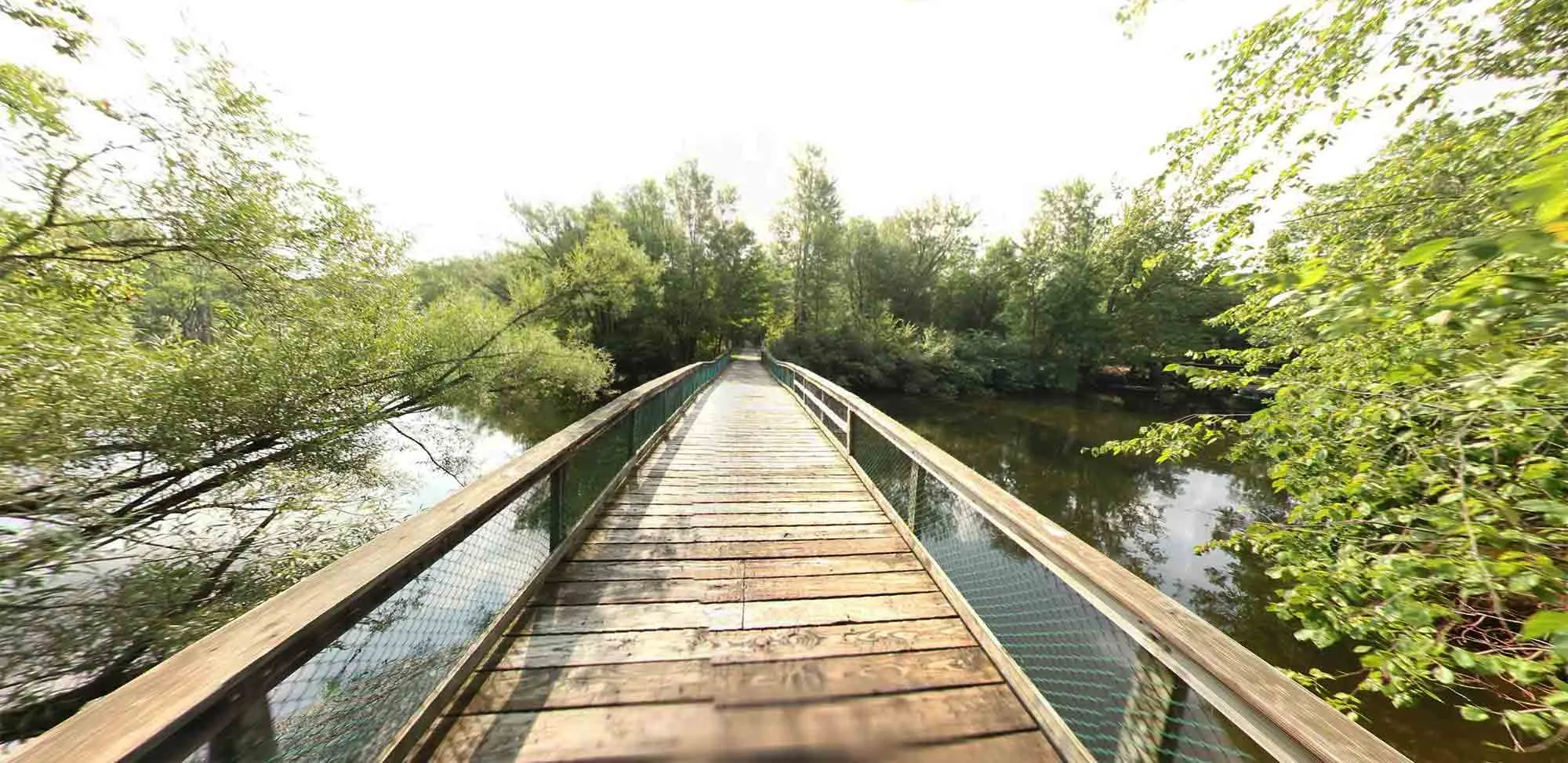 A wide, crushed limestone trail stretching through a natural area, part of the Lakelands Trail State ParkExploring the Lakelands Trail State Park.
Macomb Orchard Trail
Stretching for 23.5 miles through northern Macomb County, the Macomb Orchard Trail is a popular paved pathway that links seven communities. This trail provides convenient access to several charming downtown areas, including Romeo, Armada, and Richmond, allowing hikers and bikers to easily stop for a meal or explore local shops. It also connects to other significant regional assets like Stoney Creek Metropark and the Clinton River Trail, creating opportunities for extended outings.
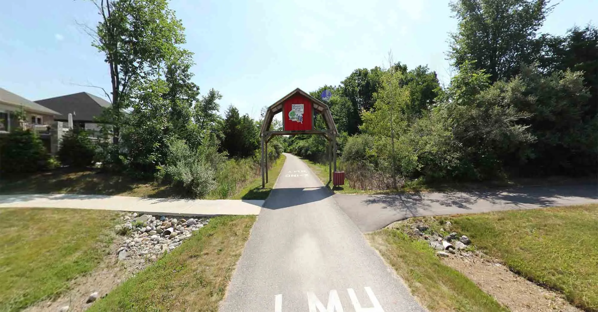 A straight, paved trail bordered by trees and open fields, characteristic of the Macomb Orchard TrailEnjoying a walk or ride on the Macomb Orchard Trail.
Milford Trail & Kensington Metropark Trail
This interconnected network forms a significant 20-mile pathway starting at Hubbell Pond Park in Milford, continuing through the expansive Kensington Metropark, and ending at Island Lake State Recreation Area. This system is a true treasure for nature lovers and recreationists, offering paved trails that wind through diverse parkland, around beautiful Kent Lake in Kensington, and connect to the natural areas of Island Lake. It provides endless options for exploring one of the region’s most beloved natural areas.
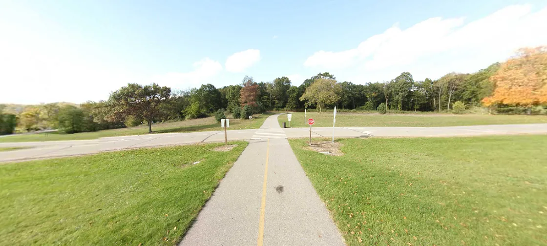 A paved trail winding through a park with mature trees, part of the Milford and Kensington Metropark Trail systemSeamless connections through Kensington Metropark.
Paint Creek Trail
The Paint Creek Trail is a historic rail-to-trail spanning 9 miles through Oakland County. It features a mix of paved asphalt within the City of Rochester and finely screened, compacted crushed limestone through Rochester Hills, Oakland, and Orion Townships, and the Village of Lake Orion. This trail was one of the first rail-to-trail conversions in Michigan and remains a popular spot for its accessibility and scenic route that follows Paint Creek for much of its length.
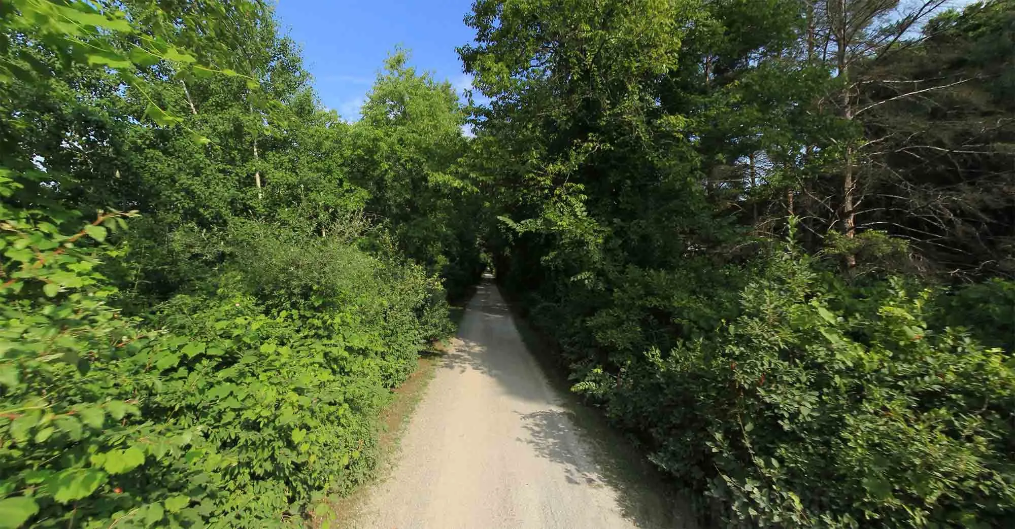 A trail with a crushed limestone surface bordered by trees, typical of sections of the Paint Creek TrailThe scenic Paint Creek Trail offers varied surfaces.
Pinckney State Recreation Area
A true paradise for serious hikers and backpackers, Pinckney State Recreation Area offers over 40 miles of multi-use and hiking trails within its vast wilderness. Beyond the extensive trail system, the park provides access to numerous fishing lakes, campsites, and dedicated backpacking sites. Its challenging terrain in some areas and the sheer scale of its trail network make it a premier destination for experiencing wilder aspects of Southeast Michigan’s landscape. In fact, Pinckney is a highlight if you’re interested in the best backpacking trails in michigan.
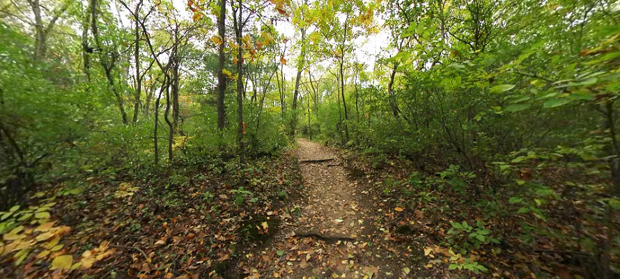 A narrow, winding dirt trail through dense woods in Pinckney State Recreation Area, a popular spot for backpacking and hiking in Southeast MichiganPinckney State Recreation Area offers extensive hiking and backpacking.
Polly Ann Trail
Connecting the townships of Orion, Oxford, and Addison, as well as the villages of Oxford and Leonard in Oakland County, the Polly Ann Trail stretches for 17 miles. Like many regional trails, it follows a former railway corridor. The trail surface varies, featuring a combination of crushed aggregate and asphalt, making it suitable for walking, running, and biking. It offers a pleasant route through a mix of rural and small-town settings.
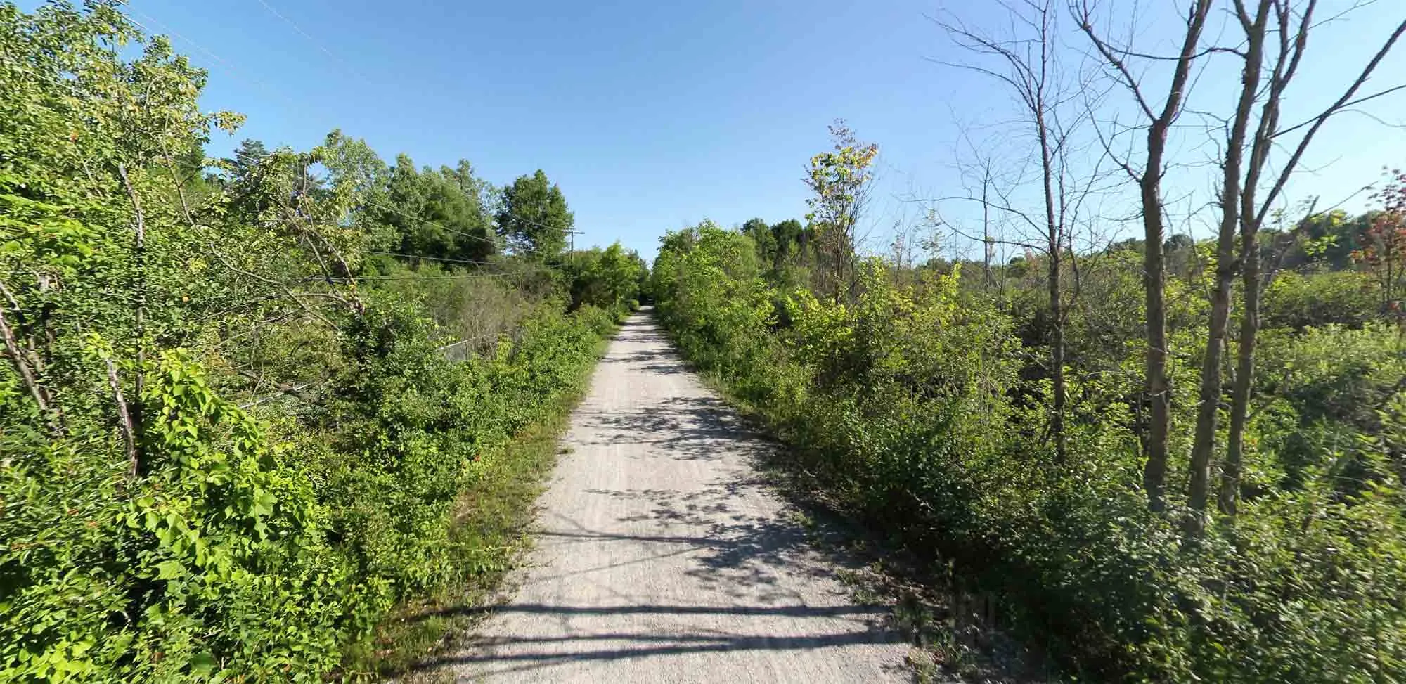 A trail with a mixed surface, passing through a suburban or rural landscape, part of the Polly Ann TrailExploring the Polly Ann Trail.
River Raisin Heritage Trail & Sterling State Park
This trail system in Monroe County uniquely blends natural exploration with significant historical context. Utilizing 8 miles of paved trails, it provides access to major historic sites, including the River Raisin National Battlefield Park, state and local parks, and important ecological features near Lake Erie. Hiking this trail is not just about exercise; it’s a journey through a landscape steeped in the history of the War of 1812 and the Battle of Frenchtown. You can learn more about the historical significance at the official River Raisin National Battlefield Park website.
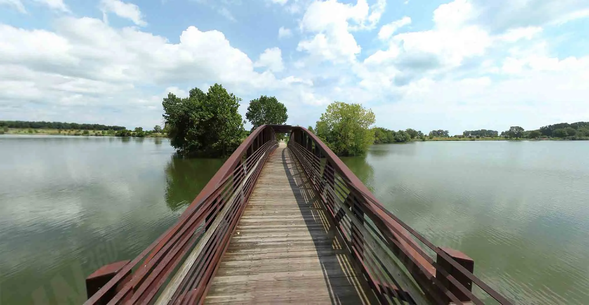 A paved trail near water and historical markers, characteristic of the River Raisin Heritage Trail leading to Sterling State ParkConnecting history and nature on the River Raisin Heritage Trail.
Stony Creek Metropark Hike-Bike Trail
A highlight within Stony Creek Metropark, this paved trail system offers over 8 miles of pathways, most notably a popular circular loop around Stony Creek Lake. This loop provides continuous scenic views of the water and surrounding parkland. The paved trail also connects to various unpaved nature trails within the park, allowing visitors to choose between accessible paved surfaces and more traditional dirt paths through natural areas, all within one large park.
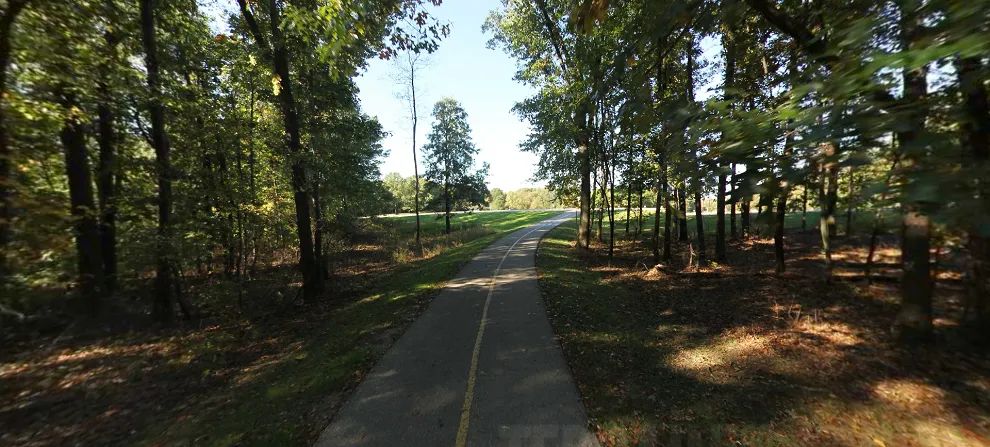 A wide paved loop trail around a lake at Stony Creek Metropark, popular for hiking and bikingThe popular loop trail at Stony Creek Metropark.
Wadhams to Avoca Trail
Located in St. Clair County, this 12-mile rail-to-trail offers diverse opportunities for walking, rollerblading, biking, and horseback riding. A standout feature of this trail is the impressive Mill Creek Trestle, a 640-foot-long bridge standing 60 feet high. The trestle includes four overlook areas, providing breathtaking views of the Mill Creek Valley below and making it a memorable point on the trail.
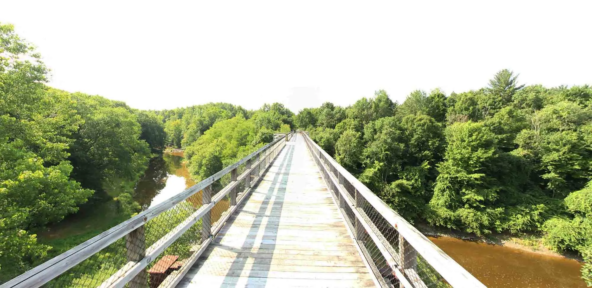 A long trail bridge (trestle) spanning a valley, a highlight of the Wadhams to Avoca TrailThe impressive Mill Creek Trestle on the Wadhams to Avoca Trail.
Planning Your Southeast Michigan Hiking Adventure
To make the most of your time exploring the best hikes in southeast michigan, a little planning goes a long way. Consider the time of year – spring brings wildflowers, summer is lush and green, fall offers spectacular color, and winter hiking or snowshoeing can be beautiful if you’re prepared for the conditions. Always check park websites or local resources for trail conditions, closures, or any necessary park passes (Metroparks and State Parks typically require annual or daily passes). Matching the trail surface and length to your desired activity and fitness level will ensure a more enjoyable experience.
Frequently Asked Questions about Hiking in Southeast Michigan
What are the best times of year for hiking in Southeast Michigan?
Spring and Fall are generally considered ideal due to comfortable temperatures and beautiful scenery (spring blooms or fall colors). Summer can be hot and humid, while winter requires proper gear for snow and ice, but offers unique solitude.
Are these trails accessible for everyone?
Many of the paved trails, like the Border-to-Border Trail, Hines Park Trail, and portions of the Metropark trails, are generally accessible. Rustic trails and those with significant elevation change (like Bald Mountain or Pinckney) may be more challenging. Always check specific trail details if accessibility is a key concern.
Can I bring my dog on these trails?
Most parks and trails in Southeast Michigan allow dogs, but they must be kept on a leash no longer than 6 feet. Always bring waste bags and clean up after your pet. Check specific park rules before you go, as some nature areas or buildings may have restrictions.
Are there fees to access these parks and trails?
Metroparks and Michigan State Parks typically require a recreation passport or a daily entry fee for vehicles. County parks and local trails may have different fee structures or be free to access. It’s wise to check the park system’s official website beforehand.
What kind of wildlife might I see while hiking?
Southeast Michigan trails are home to various wildlife, including white-tailed deer, squirrels, chipmunks, rabbits, and many species of birds, including migratory birds depending on the season. Along waterways, you might spot turtles, frogs, or waterfowl. Remember to observe wildlife from a distance and never feed wild animals.
Step Onto the Trail and Connect
From the urban pathways of Detroit to the rugged hills of Bald Mountain and the extensive networks of the Metroparks, Southeast Michigan offers a wealth of hiking experiences. Each trail provides a unique opportunity to connect with the natural world, understand the region’s geography, and even touch upon its history through former rail lines or significant sites. Choosing any of these best hikes in southeast michigan is a step towards exploration and appreciation for the diverse beauty found right here. Lace up your boots, breathe the fresh air, and discover why the trails in Southeast Michigan are more than just paths – they’re pathways to understanding the heart of this vibrant region.
