Washington state is an incredibly beautiful place, offering access to thousands of miles of trails that lead to unbelievable locations. While day hiking is fantastic, there’s something truly special about spending the night out, fully immersing yourself in the surroundings. This is the magic of backpacking Washington. If you’re willing to carry a bit of extra weight, you’ll be rewarded with peaceful wilderness experiences and often some of the most unforgettable sunsets and sunrises of your life!
When prime summer weather arrives in Washington (typically mid-June through mid-September), the mountains beckon for backpacking adventures. Drawing from numerous experiences, we’ve compiled our top picks for some of the best overnight summer backpacking trips in the state. We’ve done our best to rank these based on our perception of difficulty, from easiest to most challenging, to help you plan your next outing.
Beginner Backpacking Adventures in Washington
If you’re new to backpacking or looking for less strenuous options, these trails offer a wonderful introduction to the wilderness. They feature relatively gentle elevation gain and can often be enjoyed earlier or later in the season compared to higher-altitude routes.
Sheep Lake
This is a fantastic beginner-friendly backpacking trip in the Mount Rainier area. The trail is gentle, leading to a picturesque lake with surrounding peaks providing a stunning backdrop. It’s a perfect spot to set up camp. From the lake, you can enjoy a day hike up and over Sourdough Gap to Crystal Lake for even more incredible scenery.
- Stats: 3.6 miles roundtrip, 400′ elevation gain
- Area: Mount Rainier area
- Distance from Seattle: 1 hour, 48 min
- Pass/Permit: Northwest Forest Pass
- Dogs Allowed? Dogs allowed on leash
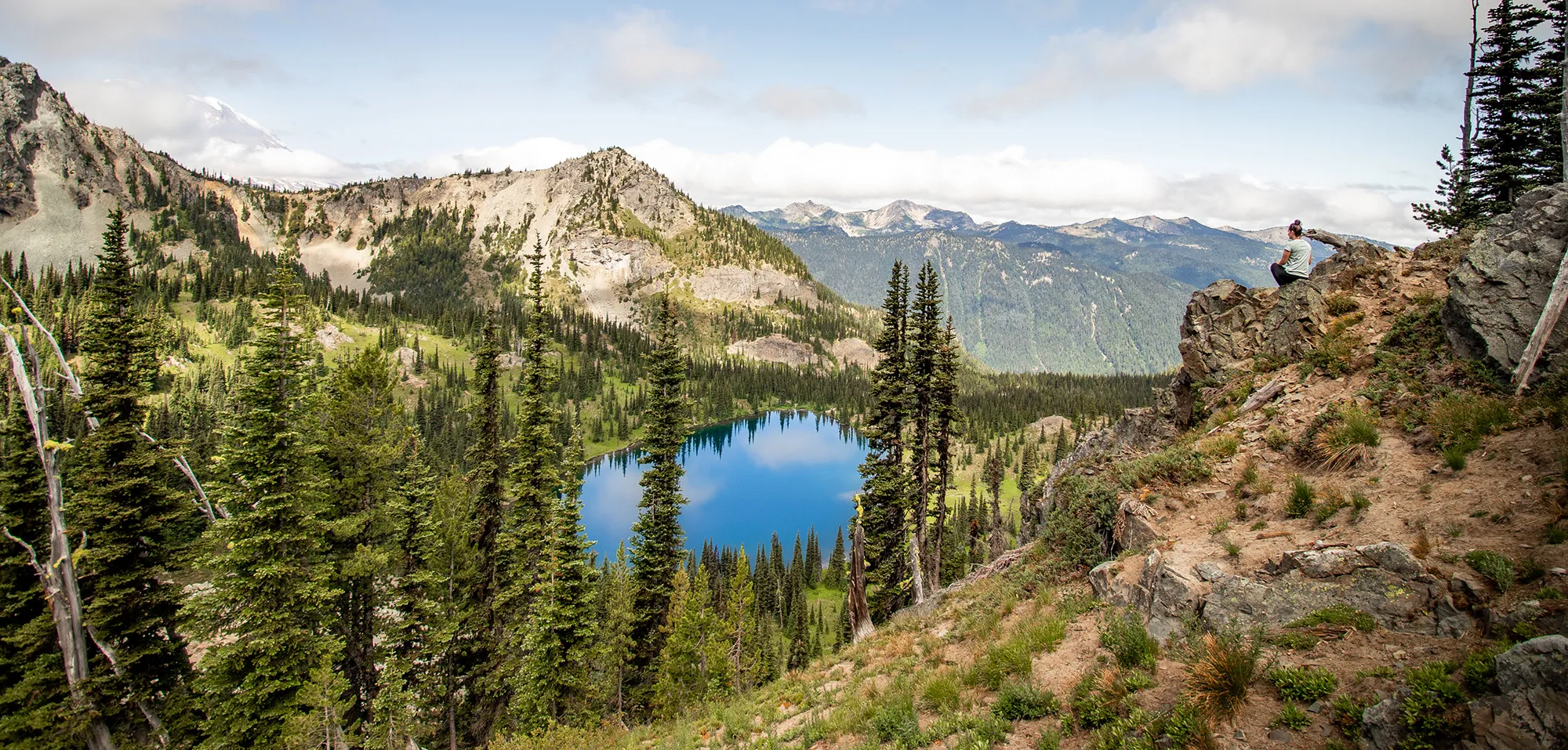 Scenic view of Sheep Lake during a Washington backpacking trip
Skyline Divide*
Located in the Mount Baker Area of the North Cascades, Skyline Divide might just offer one of the best wildflower and sunset combinations you can find while backpacking Washington. An overnight trip here allows ample time to relax and soak in the sweeping views in every direction. Remember to always camp on established sites to protect the fragile meadows and flowers.
- Stats: 9 miles roundtrip, 2,500′ elevation gain**
- Area: North Cascades, Mount Baker area
- Distance from Seattle: 2 hours, 30 min
- Pass/Permit: Northwest Forest Pass
- Dogs Allowed? Dogs allowed on leash
What to Eat in Fort Worth – A Culinary Deep Dive
Discover the Top Restaurants in Denver – A Culinary Journey
Discover Where to Visit in Las Vegas
*As of July 2023, the road to this hike was washed out 9.6 miles before the trailhead. Always check WTA.org for the most recent status before planning.
What to Eat in Fort Worth – A Culinary Deep Dive
Discover the Top Restaurants in Denver – A Culinary Journey
Discover Where to Visit in Las Vegas
*Note:* You can set up camp around mile 2 and explore the rest of the ridge as a day hike with a lighter pack, making it feel much easier.
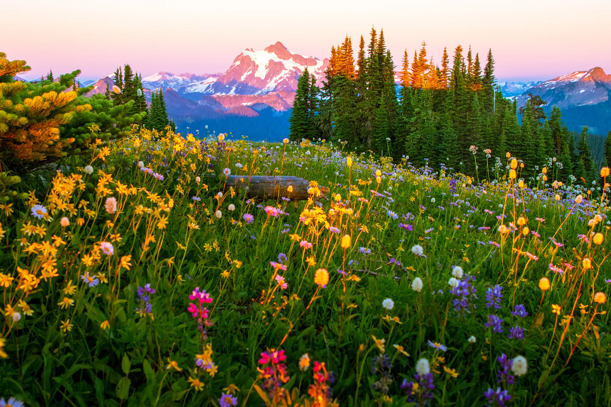 Wildflowers blooming at Skyline Divide with Mt Shuksan in the background, a scenic Washington backpacking trail
Summit Lake
This beginner-friendly backpack offers stunning views of deep-blue Summit Lake with the majestic Mount Rainier behind it. For even better vistas, continue up to Summit Lake Ridge. We were lucky enough to find an incredible campsite there with unparalleled views. If you time your trip for mid to late July, you might also see a beautiful meadow full of avalanche lilies on the way up to the ridge from the lake.
- Stats: 6.1 miles roundtrip, 1,300′ elevation gain
- Area: Mount Rainier
- Distance from Seattle: 1 hour, 46 min
- Pass/Permit: Northwest Forest Pass
- Dogs Allowed? Dogs allowed on leash
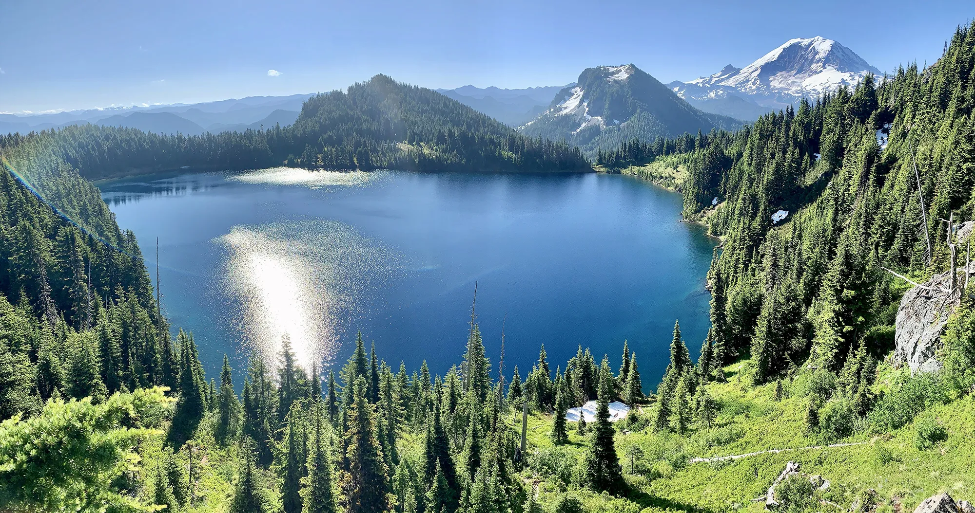 Mountain view from a ridge campsite near Summit Lake on a Washington backpacking adventure
Tubal Cain Mine to Buckhorn Lake
Located on the Olympic Peninsula, this trail offers a unique experience. In early July, you’re surrounded by blooming rhododendrons for the first few miles. The trail leads to a beautiful turquoise lake, and you can even take a side trip to see the remnants of an old plane crash. This route can be extended by exploring areas like Marmot Pass, which is mentioned later as a separate, more challenging backpack.
- Stats: 12 miles roundtrip, 2,000′ elevation gain
- Area: Olympic Peninsula
- Distance from Seattle: 3-3.5 hours
- Pass/Permit: Wilderness permit – self-issue at trailhead (no fee)
- Dogs Allowed? Dogs allowed on leash
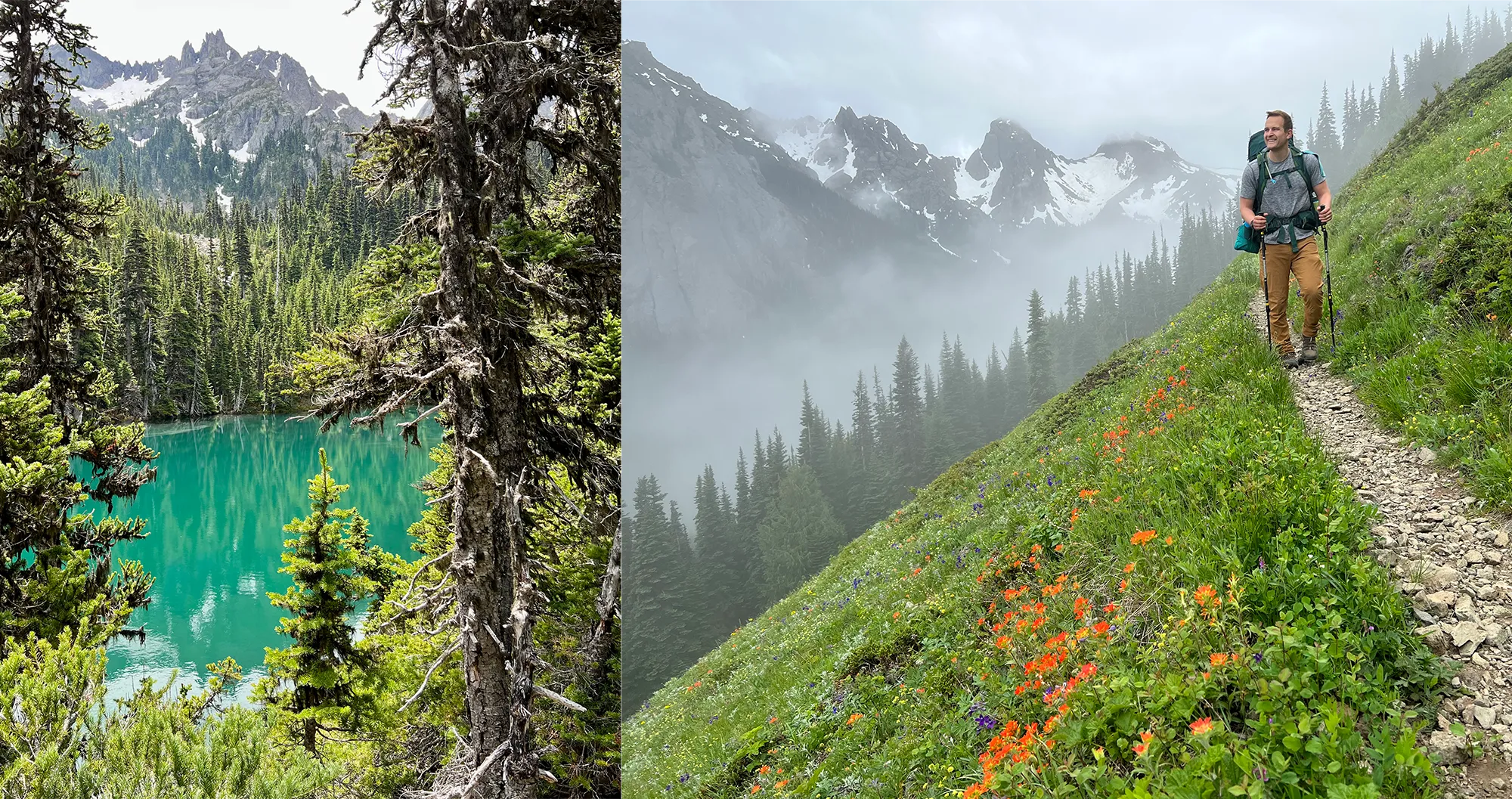 Buckhorn Lake and a misty trail on the Olympic Peninsula, a Washington backpacking option
More Moderate Washington Backpacking Trails
These trips step up the challenge slightly, often involving more mileage or elevation gain than the beginner options, but offer incredible rewards.
Park Butte
This popular trail in the Mount Baker area provides expansive views of Mount Baker, the Twin Sisters, and the surrounding North Cascades as you make your way to a historic fire lookout. If the lookout is empty, you might be able to camp inside on a first-come, first-serve basis. Even if you camp nearby, the views, especially at sunset, are unforgettable.
- Stats: 7.5 miles roundtrip, 2,200′ elevation gain
- Area: North Cascades, Mount Baker area
- Distance from Seattle: 2 hours, 13 min
- Pass/Permit: Northwest Forest Pass
- Dogs Allowed? Dogs allowed on leash
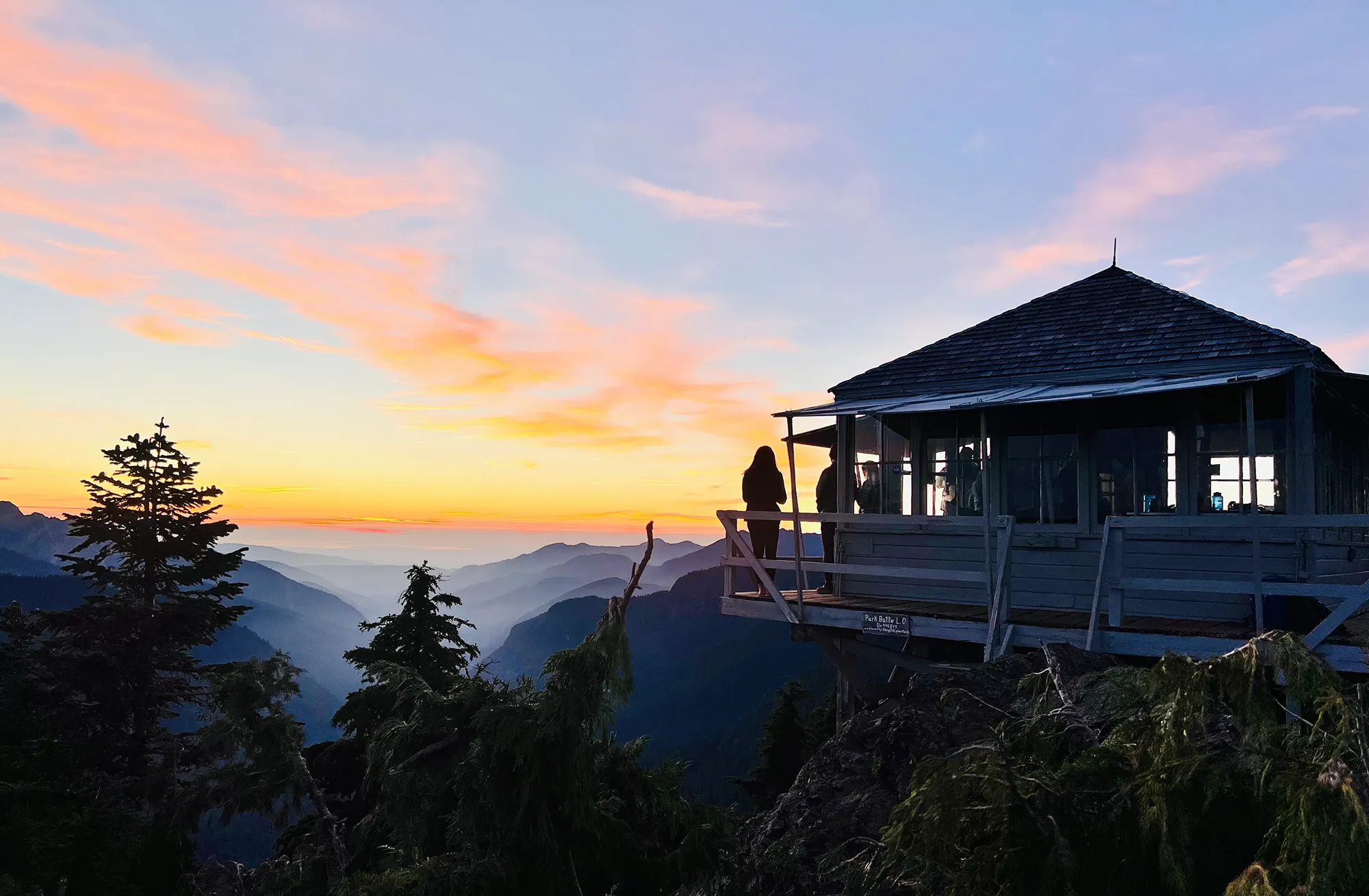 Park Butte Fire Lookout at sunset, a popular backpacking destination near Mount Baker, Washington
Lake Ingalls
A solo backpacker found this trail particularly memorable, especially for the company of mountain goats! While camping isn’t allowed right by the lake, Headlight Basin, about 0.8 miles before the lake, offers numerous campsites with great views of Mount Stuart. It can get quite windy, so picking a sheltered site on dirt (not rock) is crucial for a good night’s sleep.
- Stats: 9 miles roundtrip, 2,500′ elevation gain
- Area: Snoqualmie Region, Salmon La Sac/Teanaway
- Distance from Seattle: 2 hours, 19 min
- Pass/Permit: Northwest Forest Pass
- Dogs Allowed? No dogs allowed
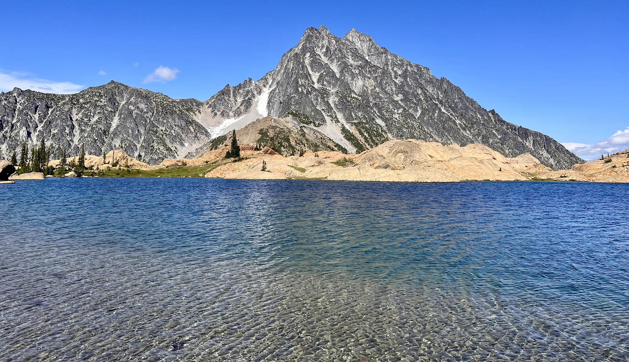 Deep blue Lake Ingalls with Mount Stuart towering behind, a stunning Washington backpacking spot
Snowgrass Flats and Goat Lake Loop
Loop hikes are often the best, offering constantly changing scenery! This trail in the South Cascades’ Goat Rocks area truly has it all: vast views of Mount Adams, beautiful wildflowers, a serene lake, and even the possibility of a stunning cloud inversion at sunrise. Be prepared for potential wind at the lake. An adventurous side trip to Old Snowy Mtn is possible for those with extra energy.
- Stats: 12.3 miles roundtrip, 2,706′ elevation gain
- Area: South Cascades, Goat Rocks area
- Distance from Seattle: 3 hours
- Pass/Permit: Wilderness permit – self-issue at trailhead (no fee)
- Dogs Allowed? Dogs allowed on leash
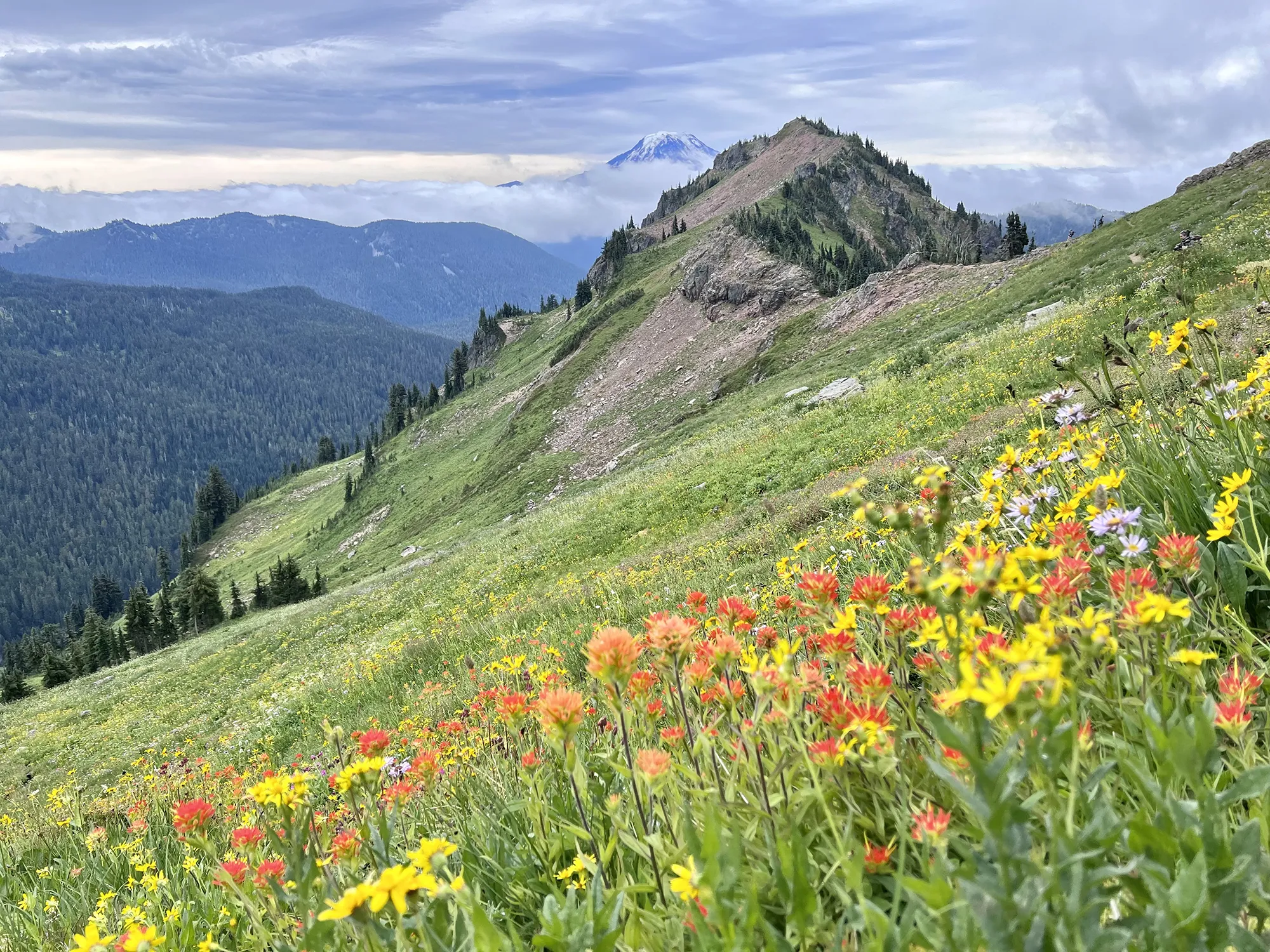 Abundant wildflowers along the trail towards Goat Lake on a Washington backpacking loop
Paddy-Go-Easy Pass
Despite being challenging, this hike offers a sense of solitude. We enjoyed having the entire area, including gorgeous Sprite Lake and views of Mount Daniel, mostly to ourselves. There’s also a small, mostly collapsed old mine shaft on the southwest ridge, which is a unique, lesser-known feature (be cautious near the opening!).
- Stats: 6 miles roundtrip, 2,560′ elevation gain
- Area: Snoqualmie Region, Salmon La Sac/Teanaway
- Distance from Seattle: 2 hours, 25 min
- Pass/Permit: Wilderness permit – self-issue at trailhead (no fee)
- Dogs Allowed? Dogs allowed on leash
![]() Overlooking Sprite Lake from a ridge near Paddy-Go-Easy Pass while backpacking Washington
Overlooking Sprite Lake from a ridge near Paddy-Go-Easy Pass while backpacking Washington
Challenging Overnight Backpacks in Washington
These trips demand significant effort, often involving substantial mileage, elevation gain, or technical terrain, but they promise some of the most rewarding views and experiences in backpacking Washington.
Navaho Peak
Don’t be intimidated by the stats on this one! A great strategy is to camp in the meadow below Navaho Pass (on dirt, never grass or flowers) and tackle the final push to the peak the next day with lighter packs. The ascent to Navaho Peak is strenuous, but reaching the summit rewards you with incredible 360-degree views that make all the effort worthwhile.
- Stats: 13.7 miles roundtrip, 4,223′ elevation gain*
- Area: Snoqualmie Region, Salmon La Sac/Teanaway
- Distance from Seattle: 1 hour, 58 min
- Pass/Permit: Northwest Forest Pass
- Dogs Allowed? Dogs allowed on leash
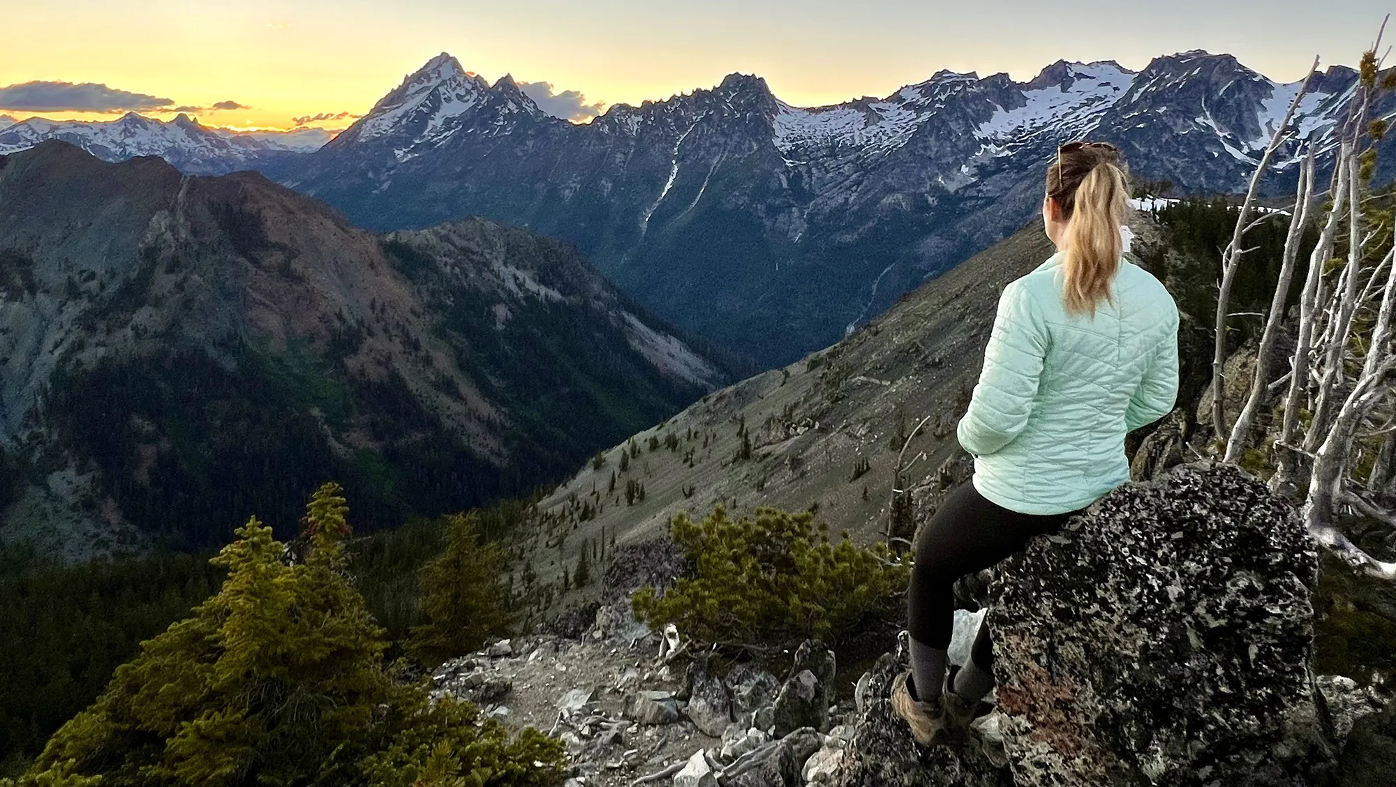 Sunset view of the Mount Stuart range from the trail near Navaho Peak, a challenging Washington backpacking destination
Rachel & Rampart Lakes
This trail feels more challenging than its stats suggest because much of the elevation gain is packed into a short section. The path is also often wet, rocky, and full of roots, requiring careful footing. However, both Rachel and Rampart Lakes are stunningly beautiful. While Rachel Lake is lovely for a break, pushing on to the Rampart Lakes area is highly recommended for better views and more camping options, despite the steep connector trail.
- Stats: 9 miles roundtrip, 2,539′ elevation gain*
- Area: Snoqualmie Pass
- Distance from Seattle: 1 hour, 23 min
- Pass/Permit: Northwest Forest Pass
- Dogs Allowed? Dogs allowed on leash
*Note: The first 2.5 miles are nearly flat, making the remaining elevation gain quite steep.
 View looking down on Rachel Lake on the ascent towards Rampart Lakes during a Washington backpacking trip
Marmot Pass via Upper Big Quilcene Trail
Another trail that proved more challenging than anticipated. Camping at Camp Mystery, short of the pass, allows you to tackle the final climb in the morning and catch an incredible sunrise from the ridge. Setting up your tent on an established site is essential here to protect the delicate wildflowers and meadows.
- Stats: 11.5 miles roundtrip, 3,489′ elevation gain
- Area: Olympic Peninsula
- Distance from Seattle: 2 hour, 30 min
- Pass/Permit: Northwest Forest Pass
- Dogs Allowed? Dogs allowed on leash
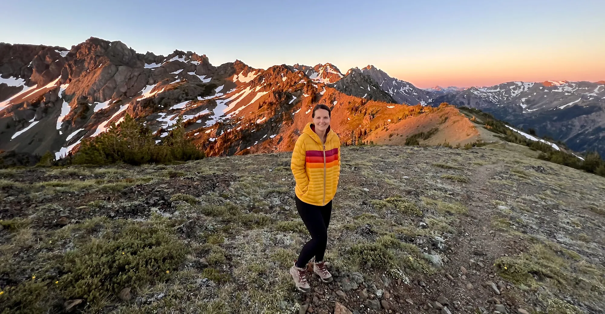 Sunrise on the ridge near Marmot Pass, a rewarding view on an Olympic Peninsula backpacking trip in Washington
Surprise Lake to Thunder Mountain Lakes
This is a long hike, but the collection of gorgeous lakes makes it incredibly rewarding. One approach is to camp at Surprise Lake the first night, then hike up to Thunder Mountain Lakes for the second night before hiking all the way out. The connector trail involves many switchbacks but is manageable. Camping spots at Thunder Mountain Lakes are limited and often on rock, but the views from your tent are spectacular.
- Stats: 14.5 miles roundtrip, 4,287′ elevation gain
- Area: Stevens Pass
- Distance from Seattle: 1 hour, 30 min
- Pass/Permit: Northwest Forest Pass
- Dogs Allowed? Dogs allowed on leash
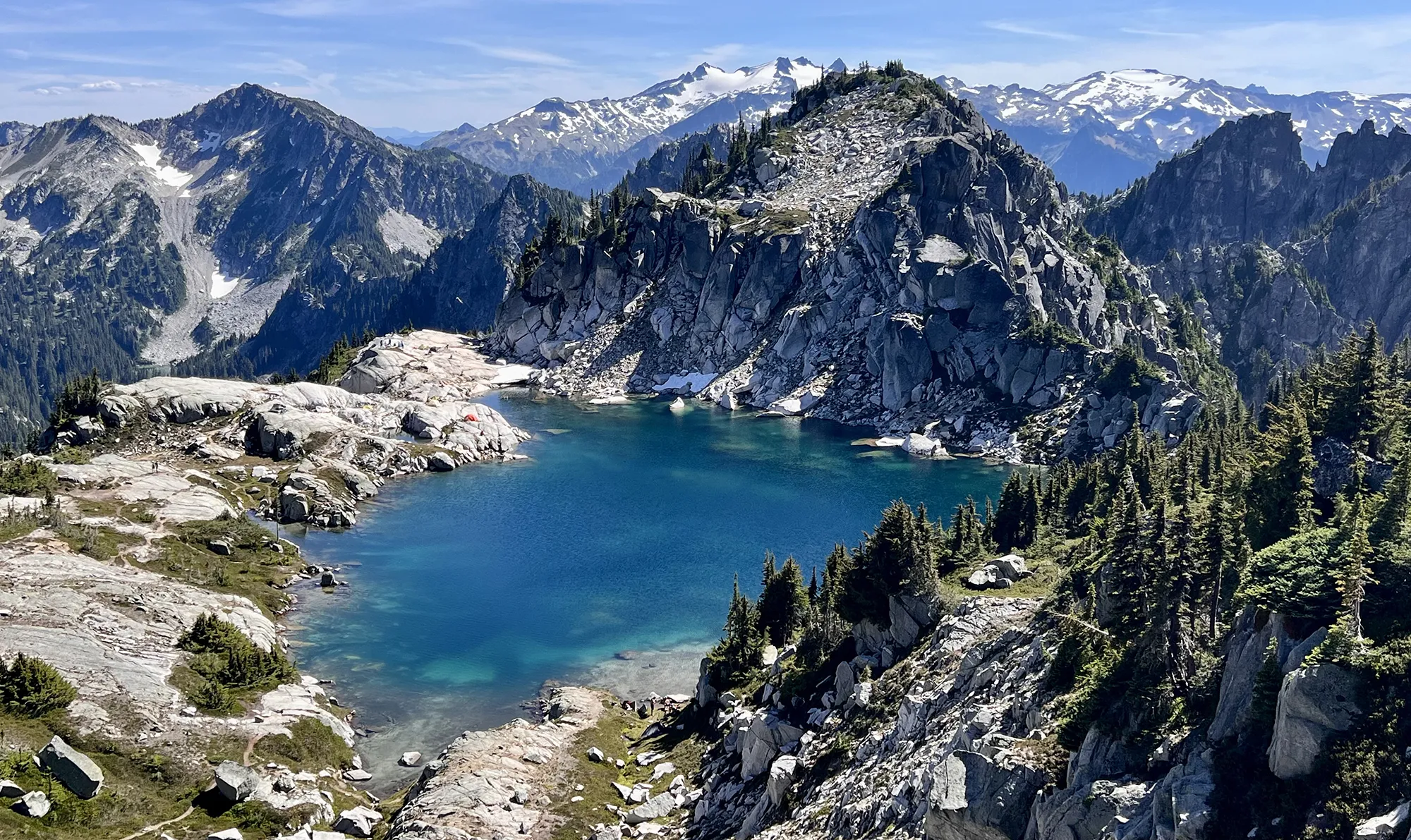 Looking down on Thunder Mountain Lake from a nearby ridge during a strenuous Washington backpacking route
Lewis and Wing Lakes
This was a highly anticipated trip, saved for the fall to witness the stunning golden larches of the North Cascades. The trail shares its first two miles with the popular Heather – Maple Pass Loop, so plan accordingly for parking. The turn-off can be tricky to spot. A significant boulder field requires careful navigation, but the sight of the turquoise Lewis Lake is worth the effort. The stretch between the two lakes is tough, but offers incredible views back down. Adventurous hikers can scramble towards Black Peak for even higher vantage points.
- Stats: 12 miles roundtrip, 2,652′ elevation gain
- Area: North Cascades
- Distance from Seattle: 3 hours
- Pass/Permit: Northwest Forest Pass
- Dogs Allowed? Dogs allowed on leash
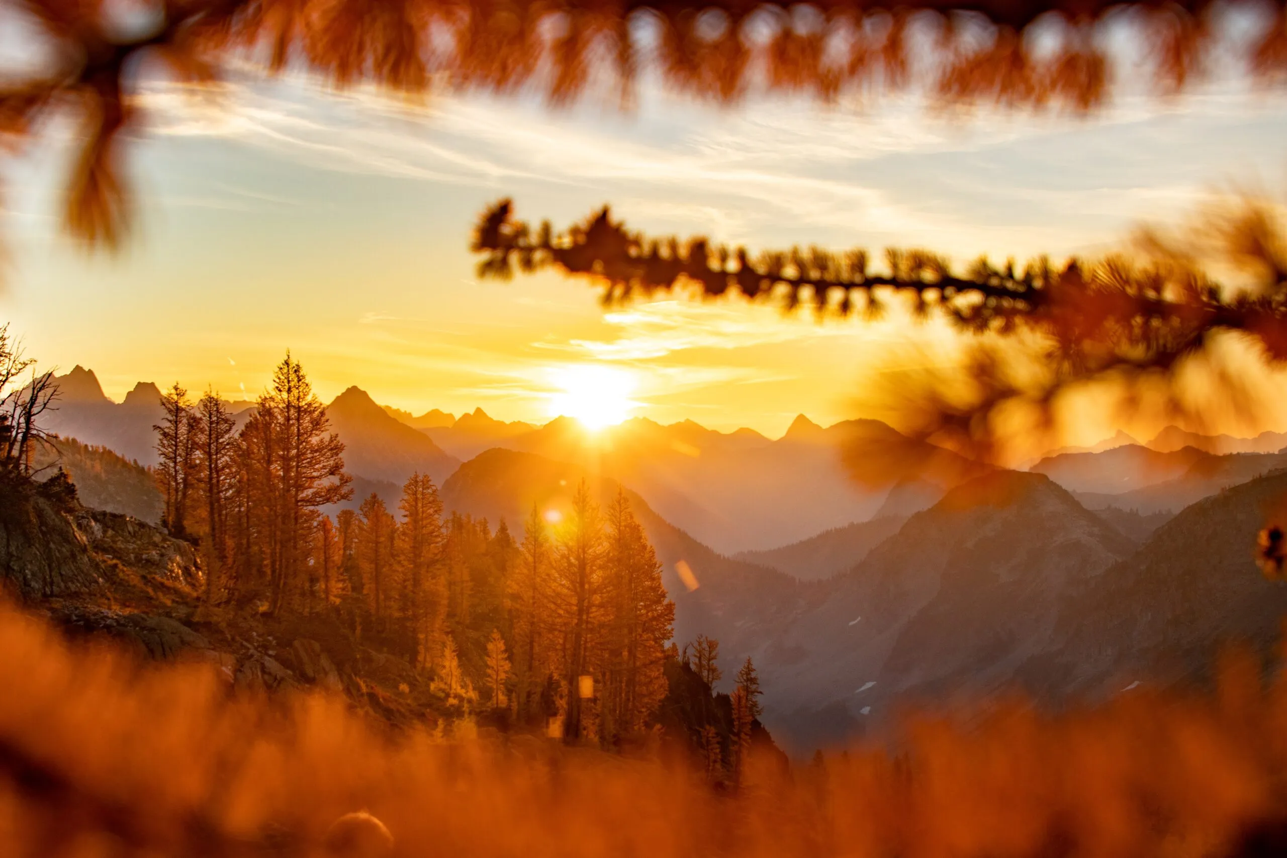 Sunrise colors over the North Cascades seen from the Lewis and Wing Lakes backpacking trail in Washington
Tuck & Robin Lakes
Ironically, this challenging hike was our very first backpacking trip (perhaps foolishly!). The stats can be deceptive, with the initial 3.5 miles being flat, followed by an extremely steep 2.5-mile push to Tuck and then Robin Lakes. It demands good physical preparation. Despite the difficulty, it is an absolutely gorgeous hike, and mastering it is incredibly rewarding.
- Stats: 11.96 miles roundtrip, 3,354′ elevation gain
- Area: Snoqualmie Region, Salmon La Sac/Teanaway
- Distance from Seattle: 2 hours, 30 min
- Pass/Permit: Northwest Forest Pass
- Dogs Allowed? Dogs allowed on leash
 View overlooking Robin Lakes from a high vantage point while backpacking in Washington
Frequently Asked Questions About Backpacking Washington
What is the best time of year for backpacking in Washington?
The prime season for high-country backpacking in Washington is typically mid-June through mid-September. This window offers the most reliable snow-free conditions, warmer weather, and peak wildflower blooms. Lower elevation or coastal trips might be possible earlier or later, or even year-round.
Do I need permits for backpacking in Washington?
Yes, permits are often required for overnight backpacking in Washington, especially in national parks (like Mount Rainier or North Cascades), wilderness areas, and sometimes even on national forest lands. Requirements vary by location and time of year. Always check the specific land manager’s website (like NPS or USFS) or resources like WTA.org before your trip. Many popular areas use a lottery system for reservations.
Can I bring my dog on these Washington backpacking trails?
Policies on dogs vary significantly. In general, dogs are allowed on leash on trails in National Forests and most State Parks. However, dogs are typically not allowed on trails within National Parks (like Mount Rainier and North Cascades, except on paved areas or roads open to vehicles). Some specific wilderness areas or trails might also have restrictions. Always check the trail information beforehand.
Conclusion
From gentle paths leading to serene alpine lakes to strenuous climbs rewarding you with panoramic mountain vistas, backpacking Washington offers an incredible range of experiences for every level of adventurer. Each trail provides a unique opportunity to connect with the stunning natural beauty of the Pacific Northwest.
Preparing adequately, respecting wilderness ethics (Leave No Trace!), and choosing a trail suited to your experience level will ensure a safe and unforgettable journey. Whether you’re seeking solitude, breathtaking views, or the simple joy of spending a night under the stars, the mountains of Washington await.
What are your favorite places to backpack in Washington? Share your experiences in the comments below! And if you plan a trip inspired by this post, we’d love to hear about it!
