Curiosity often strikes when gazing upon a map of the United States. Among the sprawling western states, Montana stands out, hinting at vast landscapes and endless horizons. But precisely how big is Montana? Beyond the simple measurement of square miles, understanding the sheer scale of Montana reveals why it’s a land of such dramatic contrasts and offers unparalleled opportunities for exploration, from towering mountain ranges to seemingly infinite plains. Let’s delve into the dimensions of the Treasure State and what its size truly means for the traveler and nature enthusiast.
Montana is immense. Covering approximately 147,040 square miles (about 380,800 square kilometers), it ranks as the fourth-largest state in the United States by total area. To put this into perspective, Montana is larger than the entire country of Germany! This vastness shapes everything about the state, from its sparse population distribution to the incredible diversity of its ecosystems and the sheer distances between its points of interest. Exploring Montana isn’t just about visiting places; it’s an experience defined by the scale of the land itself.

The state’s immense size is dramatically showcased by its two distinct geographical provinces. The western two-fifths of Montana is dominated by the rugged, majestic peaks and deep valleys of the Rocky Mountains. This is a landscape of high altitudes, dense green forests, and windswept, treeless summits. In stark contrast, the eastern three-fifths lies upon the Great Plains, a vast, horizontal expanse characterized by golden rangeland, expansive grain fields, and fallow brown strips stretching as far as the eye can see. This striking divide between mountain and plain is perhaps the most defining geographical feature influenced by how big is Montana.
How Big Is Montana? Unpacking the Scale of the Treasure State
Within Rocky Mountain Montana, the scale of the mountains themselves is awe-inspiring. Ranges align from north-northwest to south-southeast, formed by the ancient, hard rocks contorted by mountain-building forces over 100 million years ago. The last ice age, roughly 11,500 years ago, played a significant role in carving the sharp, rugged topography we see today, leaving behind U-shaped valleys and glacial deposits that define the valley floors. While present-day glaciers are small remnants, their historical impact on the mountain forms highlights the geological scale at play in this part of Montana.
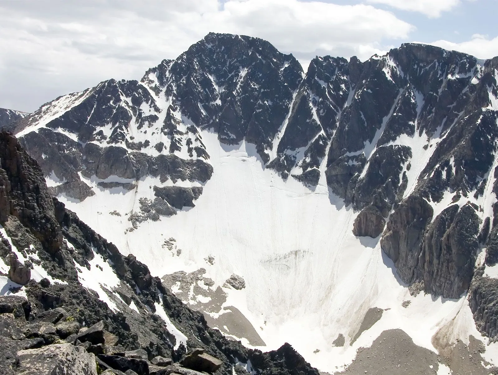
There’s even contrast within the mountain region, a testament to just how big is Montana. Some areas feature narrow, deeply carved valleys, creating incredibly rugged and spectacular scenery. These humid, forested valley floors are characteristic of regions like northwestern Montana, home to Glacier National Park, and the south-central area bordering Yellowstone National Park, where the state’s highest point, Granite Peak, stands at 12,799 feet (3,901 metres). These rugged pockets are separated by broad-valley areas in west-central and southwestern Montana, where dry, grassy valley bottoms offer sweeping, panoramic views that emphasize the vastness even within the mountains.
 Granite Peak, Montana
Scaling Granite Peak gives a sense of the vertical dimension and how big is Montana’s mountain height compared to sea level.
Moving eastward, the scale of Great Plains Montana unfolds. Much of this region is not flat but rather rough terrain. South of the Yellowstone River, rolling hills are common. A striking feature is the Missouri River Breaks area in the north-central part, a rugged landscape along a long segment of the Missouri River, part of the Upper Missouri River Breaks National Monument. Genuine plains are found in the “Golden Triangle” north of Great Falls and on elevated plateaus elsewhere. The deeply incised valleys of major rivers crossing the plains also contribute to the varied topography.
Some areas on the plains and plateaus feature dramatic badlands, showcasing the erosive power of nature on a large scale, such as those found at Makoshika State Park. Scattered across this vast plain are eight smaller mountain ranges known as Rocky Mountain outliers – essentially “islands” of the Rockies rising unexpectedly from the surrounding flatlands, highlighting the scale and complexity beneath the seemingly simple surface of the plains.

The rocks underlying Great Plains Montana are typically younger, softer, and relatively horizontal compared to the ancient, folded rocks of the mountains. North of the Missouri River, vast areas are covered by glacial deposits left by the continental ice cap, which mirrored the alpine glaciers carving the mountains to the west. The large-scale glacial movements further emphasize how big is Montana’s geological history. River valleys within the plains are filled with alluvial floodplains, terraces, and benchlands carved from the softer rocks.
Following the course of the Missouri River showcases how expansive is Montana’s reach, draining vast inland territories.
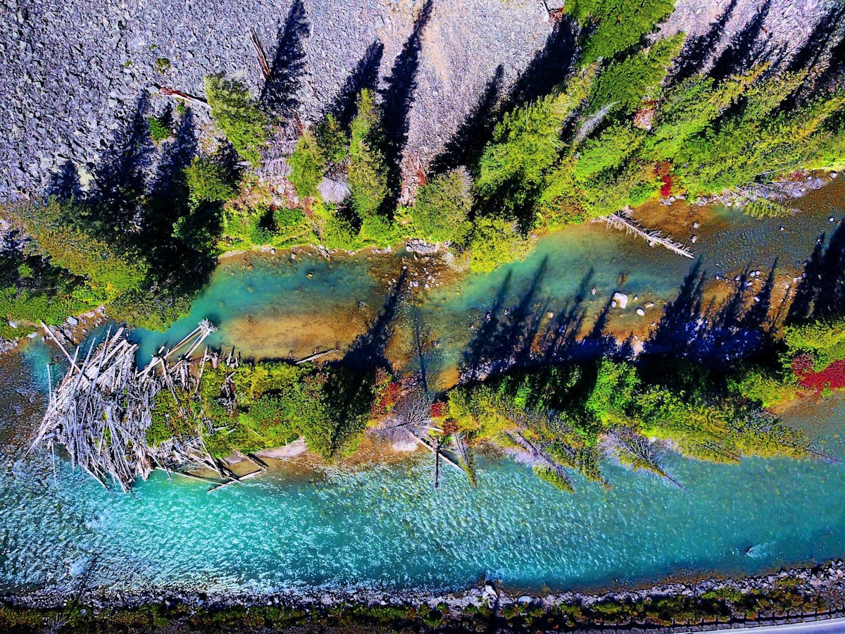
Montana’s impressive size is also reflected in its unique drainage system. It’s the only state in the U.S. from which water flows to three major destinations: Hudson Bay, the Gulf of Mexico, and the Pacific Ocean. West of the Continental Divide, rivers like the Kootenai, Clark Fork, and Flathead flow towards the Columbia River and ultimately the Pacific. The Flathead River notably flows through Flathead Lake, the state’s largest natural lake, adding another layer to the varied geography influenced by how big is Montana’s footprint.
The size of Flathead Lake, Montana’s largest natural lake, provides a sense of how significant are the state’s freshwater bodies.
East of the Continental Divide, the mighty Missouri River and its major tributary, the Yellowstone, drain most of the state. The Missouri begins its journey in southwest Montana, formed by the confluence of the Jefferson, Madison, and Gallatin rivers, flowing ultimately into the Mississippi River and the Gulf of Mexico (part of the Atlantic Ocean drainage). A small corner on the eastern slope of Glacier National Park contributes to the Hudson Bay drainage system. This trifecta of drainage basins underscores the immense hydrological scale determined by how big is Montana.
Finding Your Perfect Amateur Astronomy Telescope – Expert Guide 2025
Discover the Best Michigan Places to Visit for Unforgettable Adventures in 2024
Discover the Top 11 nevada places to visit
Understanding how big is Montana is crucial for appreciating its diverse landscapes, planning a trip, or simply grasping the magnitude of this American state. Its size isn’t just a number; it’s the canvas upon which dramatic mountains rise, vast plains stretch, and mighty rivers carve their paths, offering a world of discovery for those willing to explore its expansive corners.
Frequently Asked Questions About Montana’s Size
Q: How does Montana’s size compare to other U.S. states?
A: Montana is the fourth-largest state in the U.S. by total area, behind Alaska, Texas, and California. This makes it significantly larger than most other states, contributing to its reputation as the “Big Sky Country” with vast, open spaces.
Q: How big is Montana compared to countries in Europe?
A: As mentioned, Montana is larger than Germany. It’s also larger than countries like Italy, the United Kingdom, and twice the size of Greece. Its land area allows for a diversity of landscapes rarely found within a single European country’s borders.
Q: How does Montana’s size affect travel within the state?
A: The immense size means travel distances can be significant. Driving between major cities or attractions can take several hours. This emphasizes road trips as a classic Montana experience and means visitors often need to focus on exploring specific regions rather than trying to see the entire state in one go. Planning is essential to manage the distances.
Q: Does Montana’s size relate to its low population density?
A: Absolutely. With such a large land area and a relatively small population (around 1.1 million), Montana has one of the lowest population densities in the U.S. This vastness contributes to the state’s feeling of wildness and provides ample opportunity for solitude and experiencing nature without crowds.
Q: How big are the protected areas in Montana?
A: Montana is home to parts of two major national parks (Glacier and Yellowstone), numerous national forests, wilderness areas, and state parks. The scale of these protected lands is vast, offering millions of acres for hiking, camping, wildlife viewing, and other outdoor recreation, a direct benefit of how big is Montana’s overall territory.
